What a day. The grandest scenery imaginable accompanied me almost all day after another almighty climb, luckily mainly through shaded forest. So far every day has simply improved on the last.
First logistics caused one or two issues. After a ‘lie in’- daring to get up at 715- and finishing breakfast by 815, I found the taxi driver was there already and I was the last bag to go on. Luckily he waited ten minutes for me, but now I know. Then I tried to assemble a lunch, popping into little artisan shops (all I could find) that wanted to sell me local runny, smelly or award winning cheese and wine, rather than a bit of bread, some Baby bel I could keep in the rucksack for a couple of days, and an apple. By the time I found a supermarket (half the size of our Tesco garage in Helensburgh) I had already walked nearly 2km, up and down hill and wasted nearly an hour.
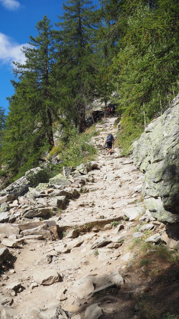
But starting out at 930 did mean for the first time there were significantly fewer hikers around me than before, even going up. And typically, once it levelled off , people spread out, stopped for picnics etc and it felt much more than ever that, while I didn’t entirely have the place to myself, I wasn’t engaging in some sort of mega mountain race.
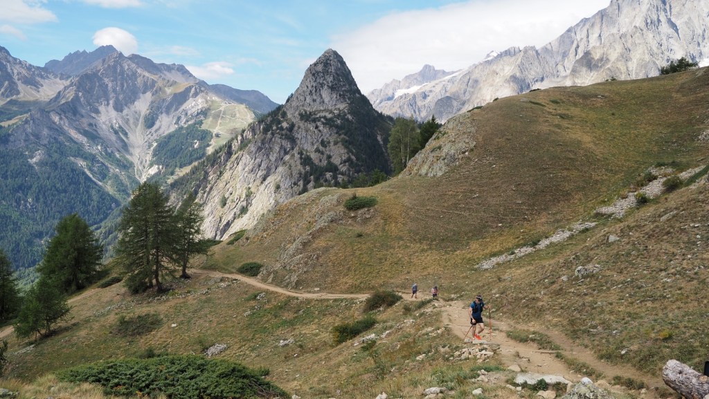
The views for my lunch stop were sublime, and included not only the pointed peak on the earlier photo, but a mist shrouded Mont Blanc too, with a massive glacier, threateningly perched above Courmayeur
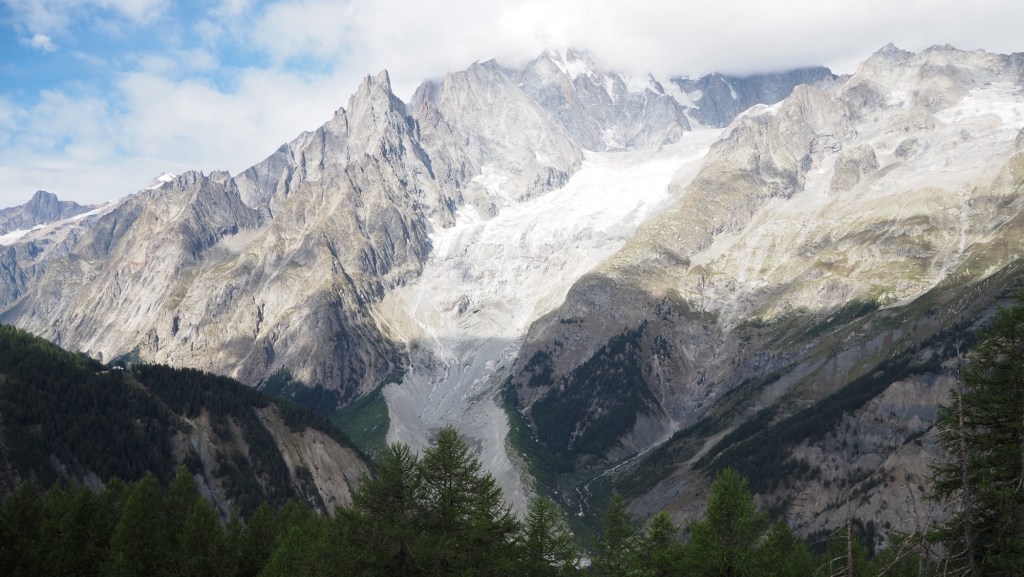
The weather too was a little cooler at the top-ideal for hiking. Most of the climbing was done by noon and I had trouble tearing myself away from the view after lunch.
The route for most of the rest of the day was broadly level, but for some reason, right at the start- and only briefly- I had a touch of vertigo so took it slowly. I think it was just because I realised how high up I was.
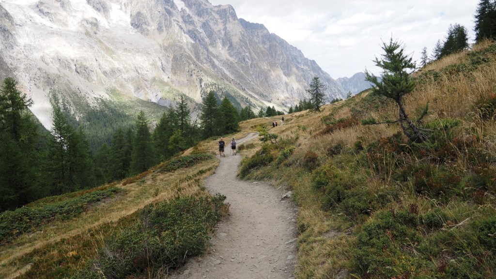
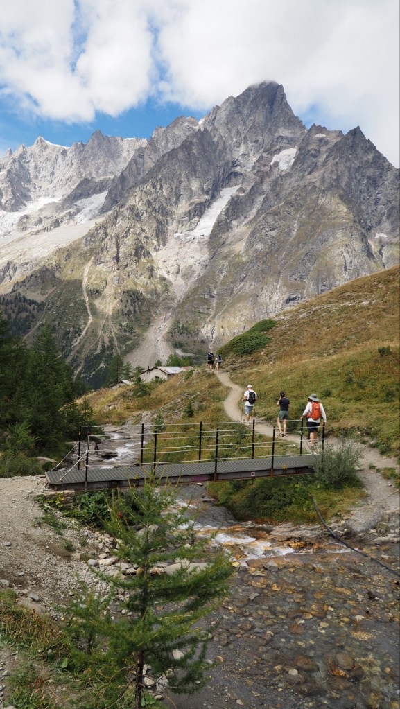
This mainly level walking, after my initial vertigo, was perfect: relatively easy, varied and with a glorious backdrop all around me. Eventually, I arrived below Refugio Bonatti, where I turned off the Tour du Mont Blanc downhill towards the road for a steep and somewhat tricky forest walk to the road, and another free bus (like yesterday’s which was also free , and packed).
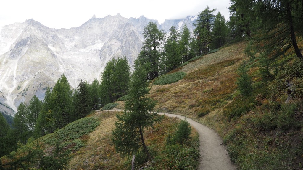
I’m incredibly cautious going down, having once broken my wrist in a fall simply on some wet decking, and worrier that I am, I have actually been watching YouTube videos about it. One confidence inspiring young Italian explained about how to avoid falling when hiking (the right kind of grippy soles, poles, packing your rucksack well to maintain balance, even duck steps) and if you do, trying to fall back rather than forward. Another 70 year old American hiker in a video warned of thin skin burning and cutting quicker as you age, supportive shoes,and tracker devices). Pretty much all of these things I’m doing, or aware of, so if I do slip it’s going to be bad luck, carelessness, weather conditions or really tricky terrain. Luckily so far the route has been well graded and maintained- I guess it has to be for the number of people that do it. Maybe there’s teams of volunteers helping keep it in condition like us Loch Lomond volunteers do for parts of the West Highland way.
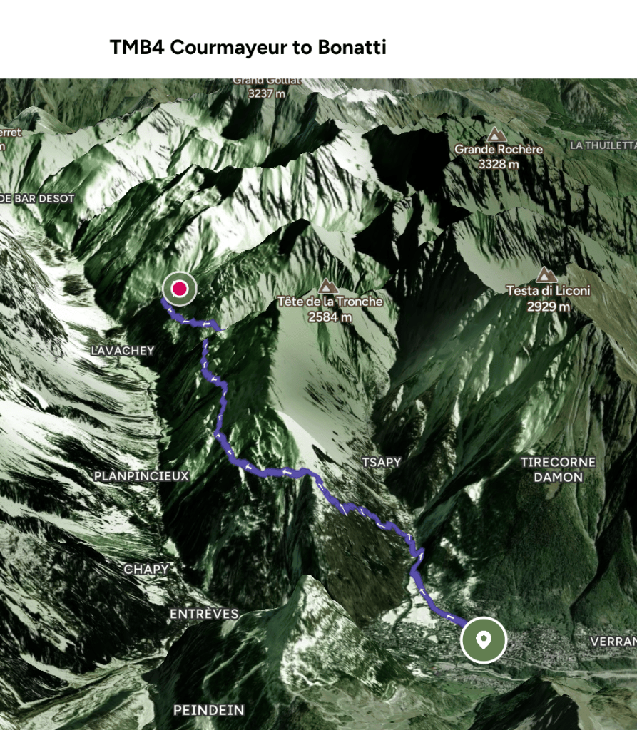
Now the stats bit. 1060 metres up today, 545 metres down, and nearly 16 km walking. That makes 3500 m up so far, almost the same down, and 65 km in four days, with six more days to go.

