Walking the Snowdonia Way: Day 7

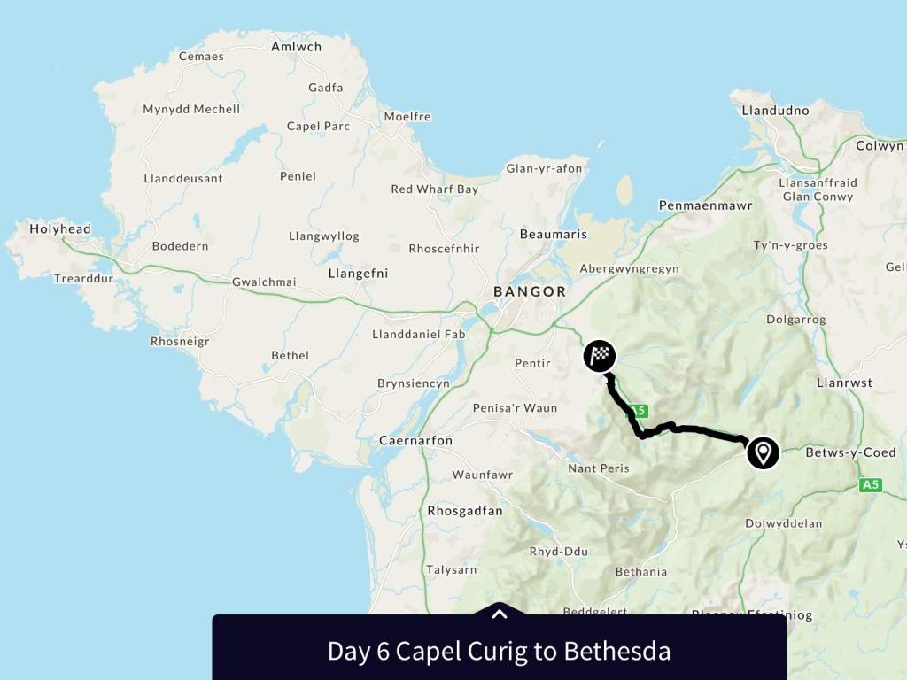
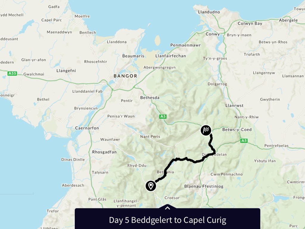
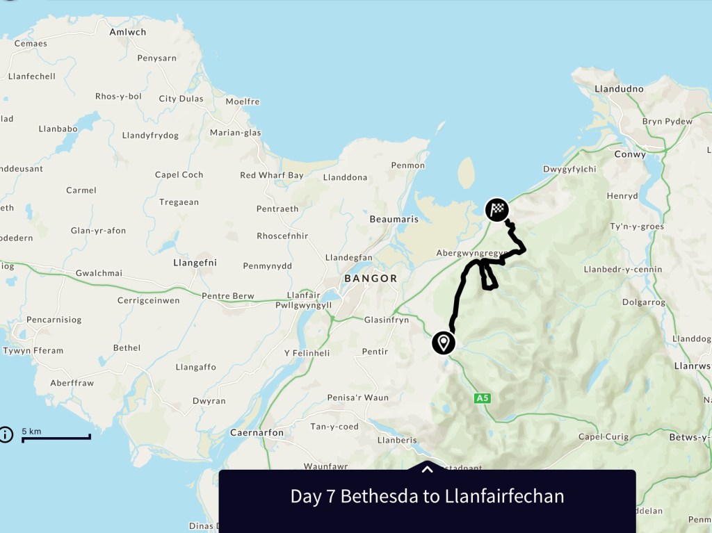
Today’s walk was a walk along the moorland overlooking the north coast of Wales, with a mid day diversion away from the coastal hills to the Aber Falls.

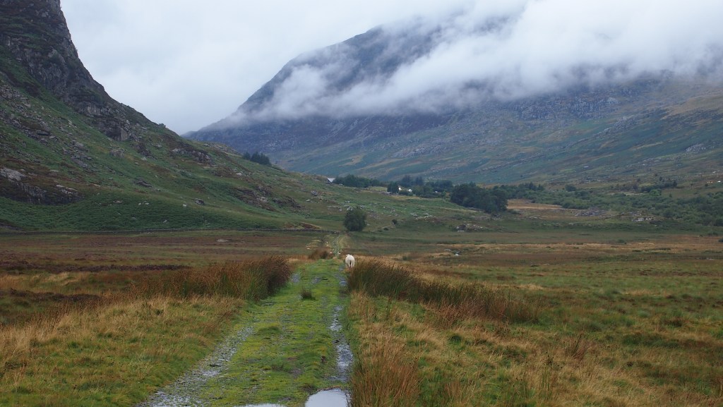
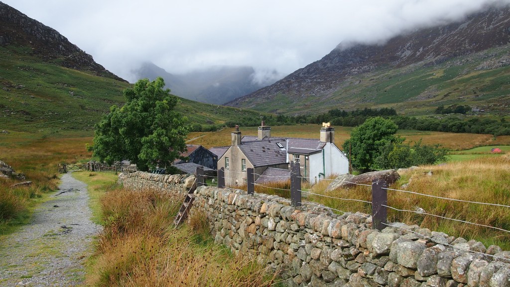
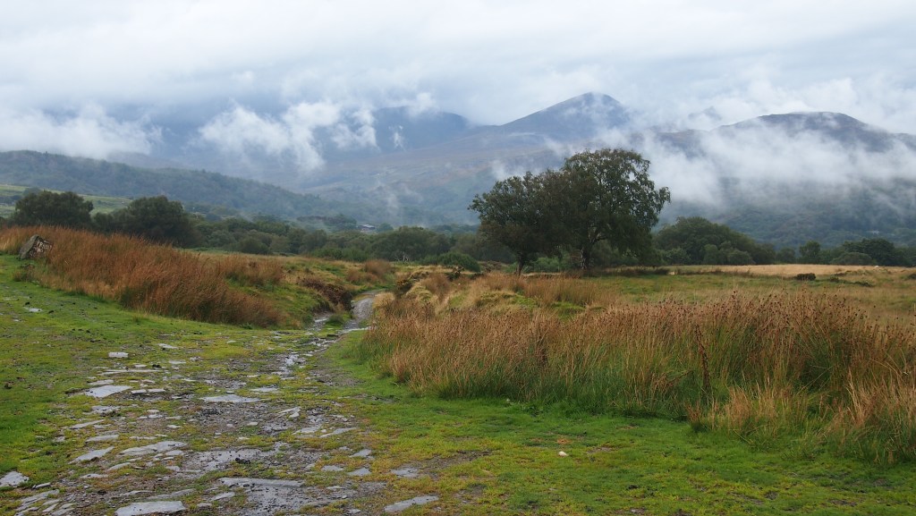
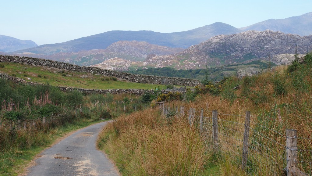
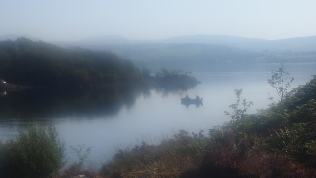
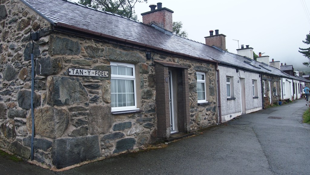
First we had to retrace our way to Bethesda, taking the bus back from Bangor to the place we left the route yesterday. Almost immediately after leaving the bus we climbed the steep roads out of Bethesda and onto the surrounding moor, where in the drizzly low cloud much of the nearby scenery was obscured by cloud and mist. We passed some cottages and soon left the town and farms behind.

Cottages on the hillside outside Bethesda

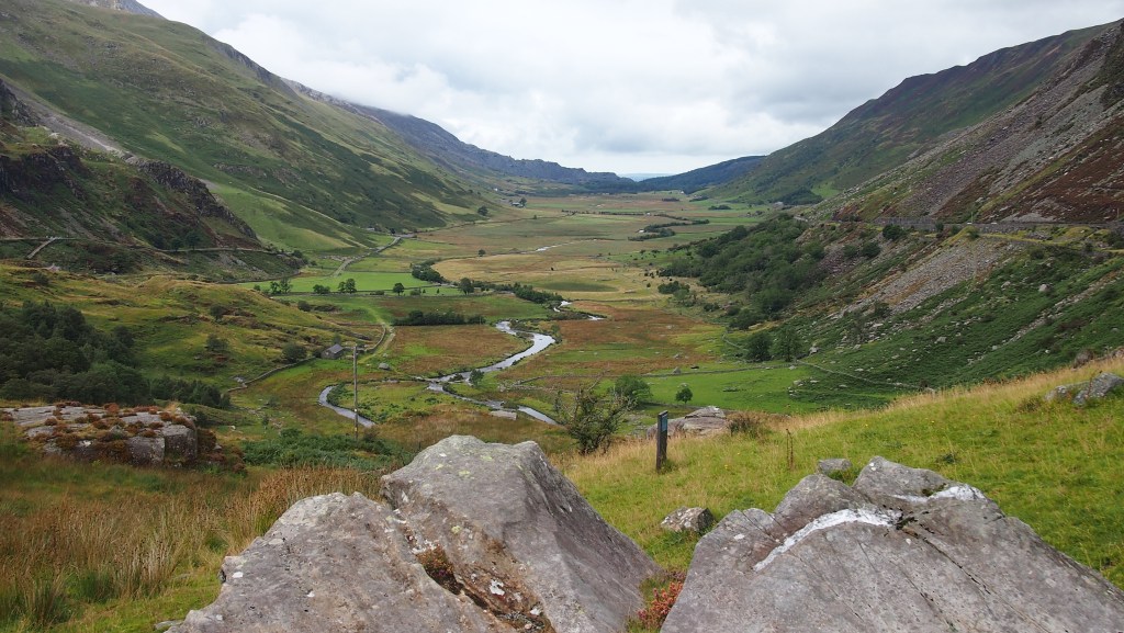
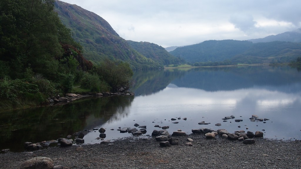
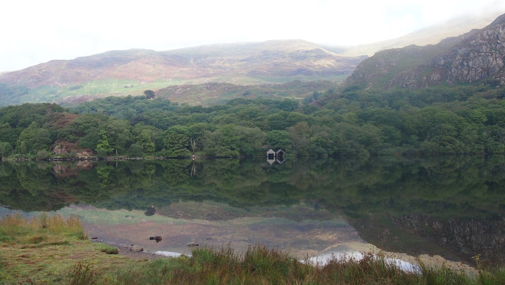
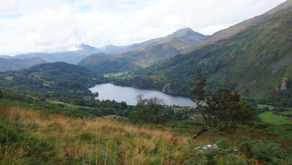
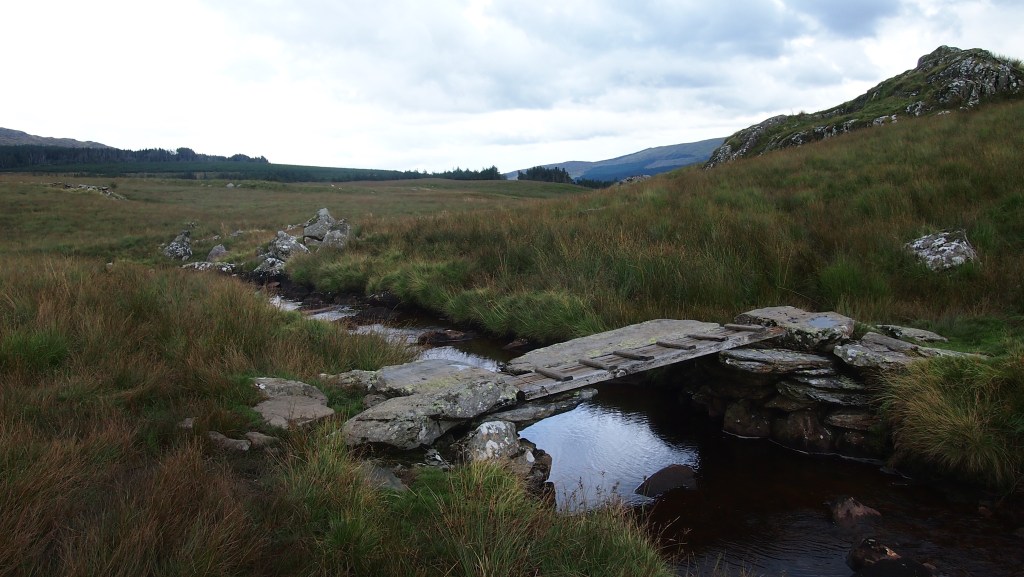
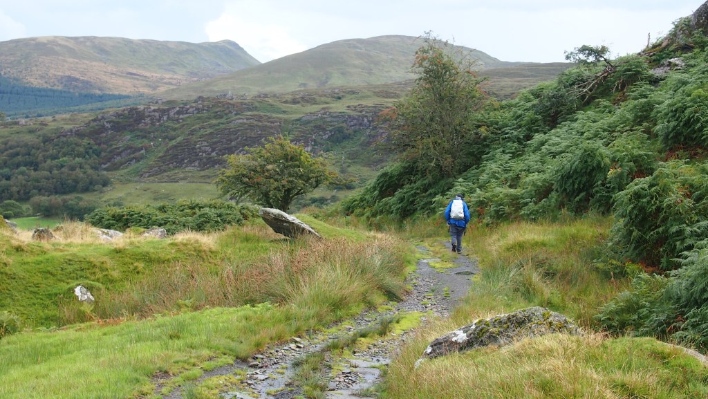
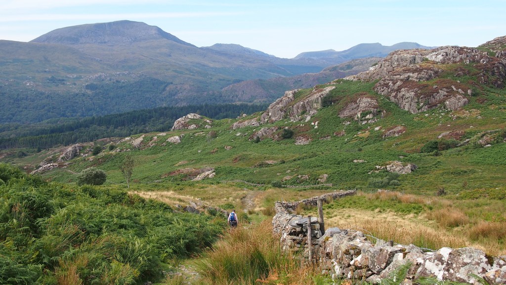
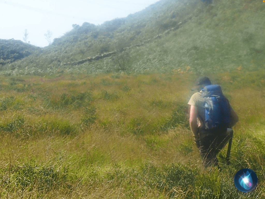
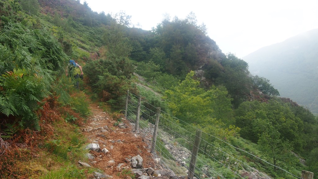
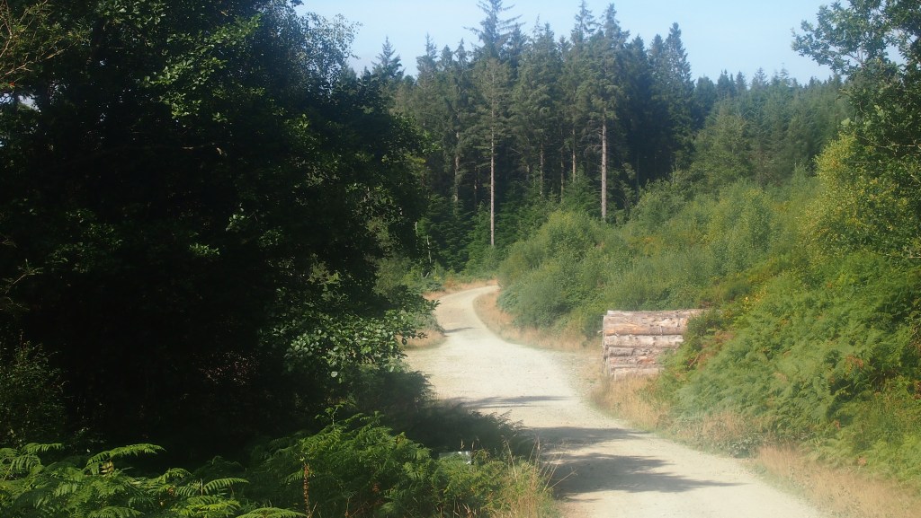
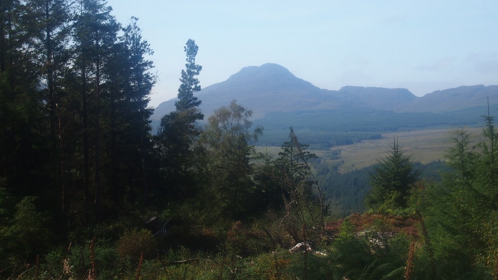
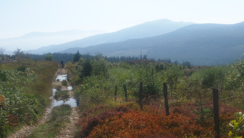
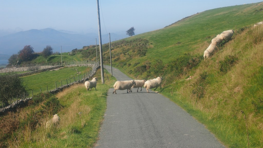
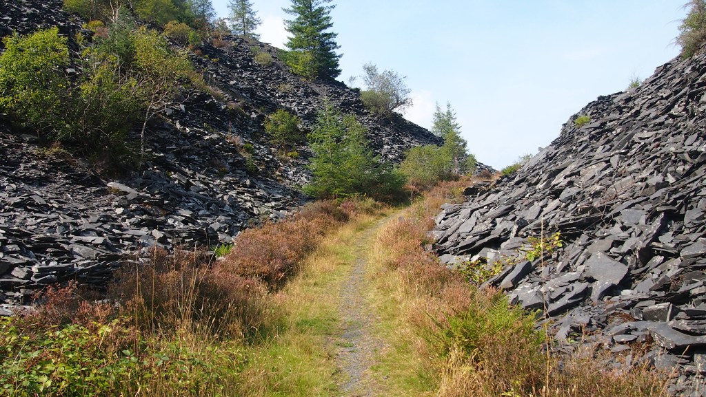
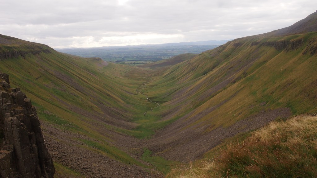
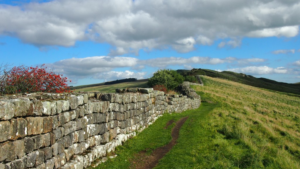
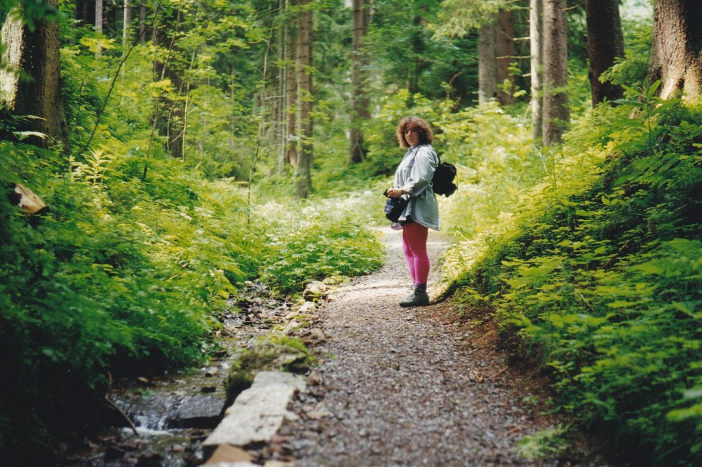
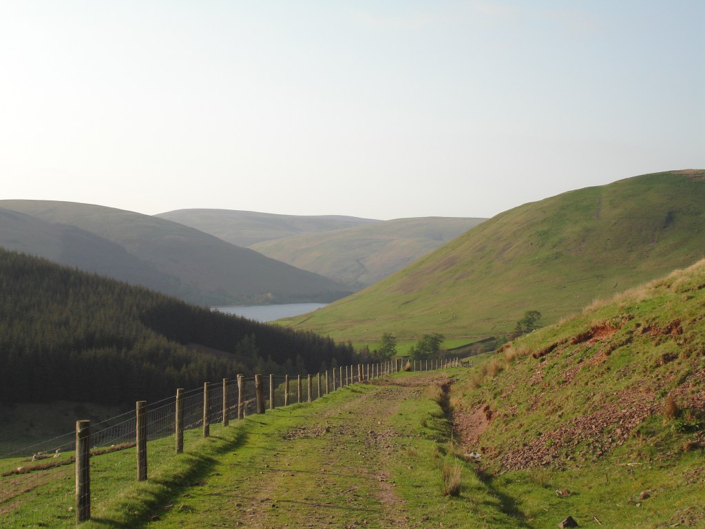
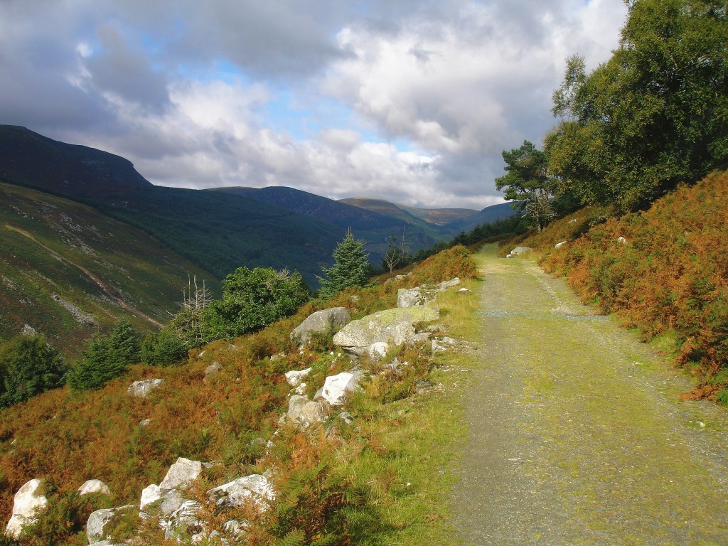
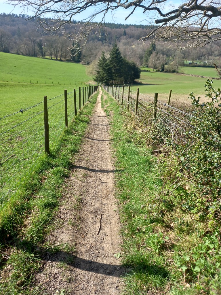
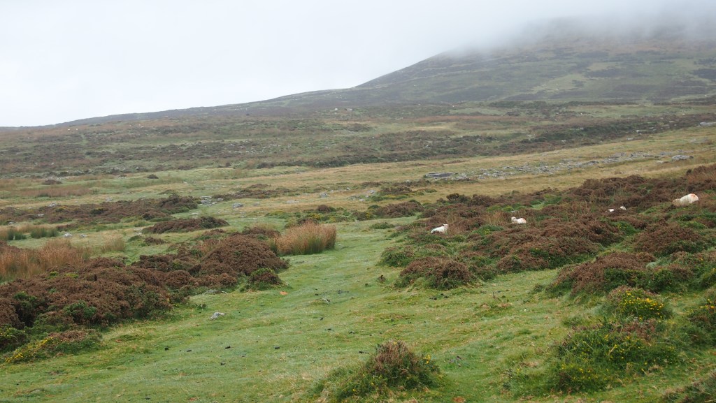
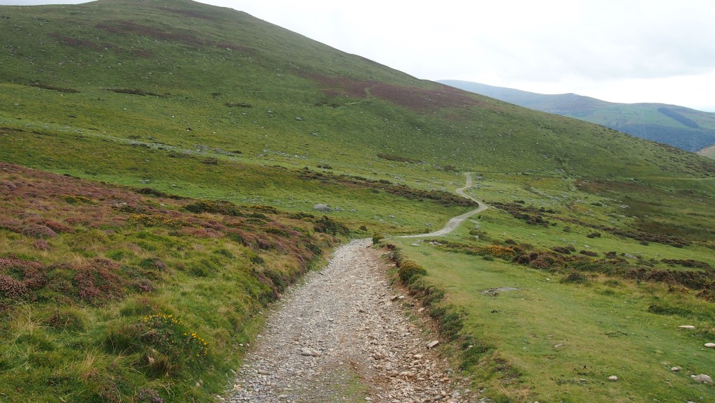
The way led us across the high moorland, overlooking the coast a mile or so away, via intermittent paths. Sometimes these were clear, soft green grass between the flowering gorse; at other times they were vaguer, rockier or boggier tracks. As ever, on these sorts of paths over moors, there were little mountain streams from time to time we had to cross carefully.

Entering the moorland

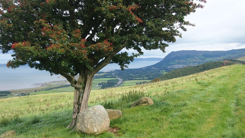
Within an hour or so of the start of our walk the rain ended, and as the day progressed we were blessed once more by dry weather, better visibility, and by later in the afternoon, sun.

Walking over the moor, with the Irish Sea to our left

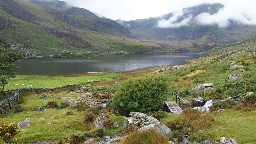
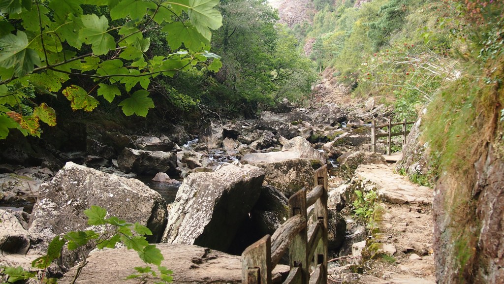
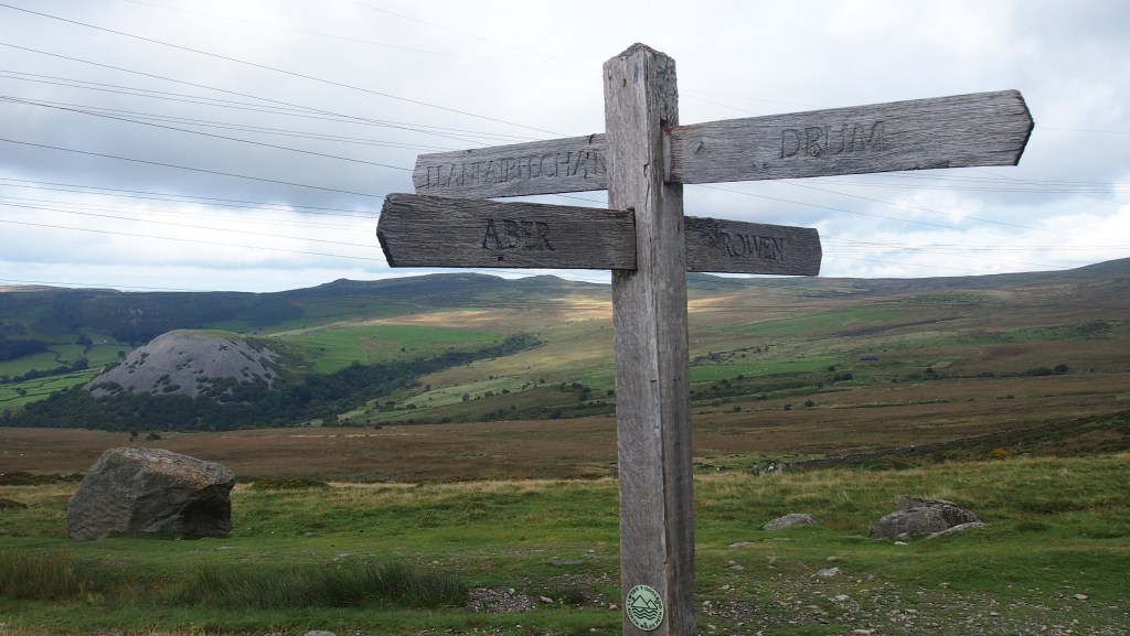
In the middle of the day, we reached the point where our route directions gave us the option of taking the route proper, doing a big u shaped detour round the sides of a valley to the Aber Falls; or taking a route down hill and along a road bypassing the falls altogether. Apparently this shorter, less scenic alternative was necessary when an unbridged stream on the main route was in flood, as there was no bridge across it. After being about to take the shortcut, we asked someone who had just come up from the falls and they said the main route was fine, so we decided after all to visit the falls.

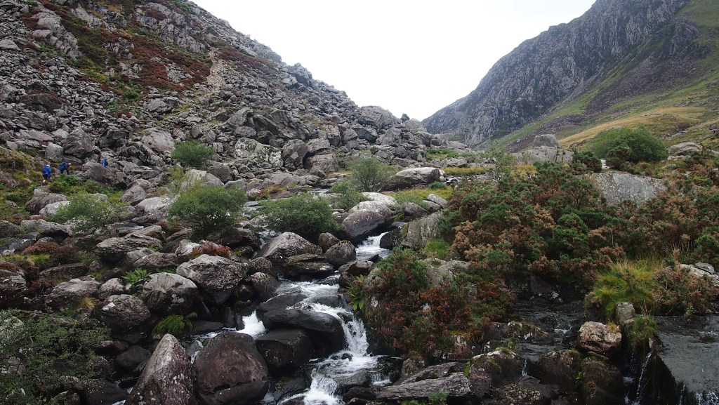
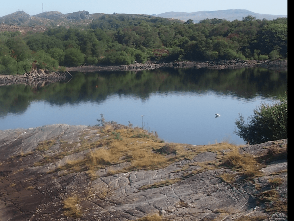
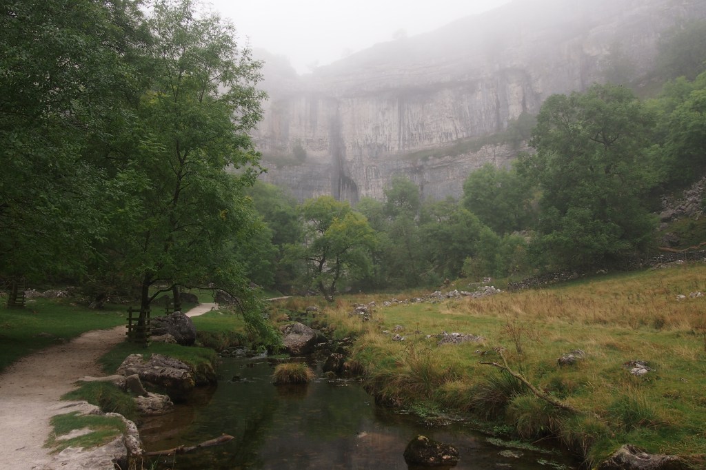
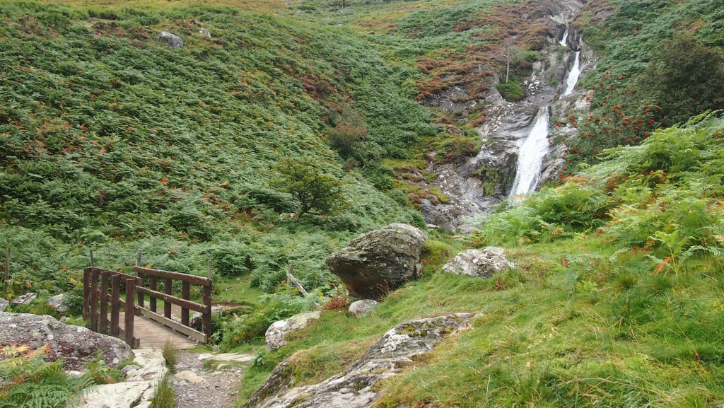
As it happened, this part of the walk turned out to be the highlight of the day, and very different from the rest of the day’s walk. Shortly after the start of the descent on a grassy path on the west side of the valley, we could see the two waterfalls across the other side, the Rhaeadr-Bach (little waterfall) and the Rhaeadr-Fawr (big waterfall)

The two waterfalls from the other side of the valley, the large one on the left

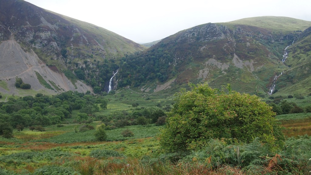
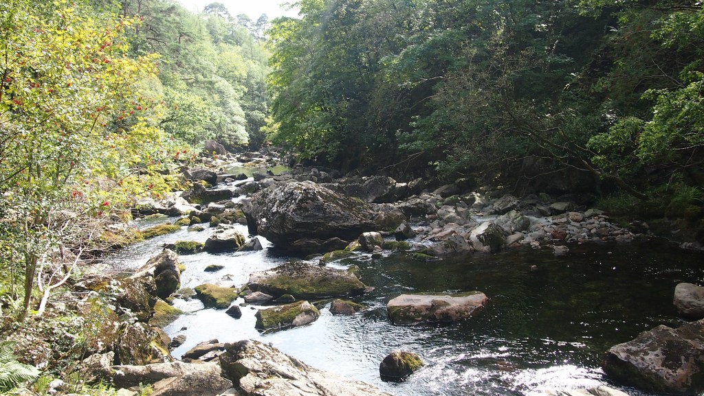
We crossed the stream we were worried about with no difficulty as it turned out, and then approached the falls themselves, first the smaller one and then the larger one, as more and more people appeared, having walked down the western side of the valley, where we now heading.

Rheaedr-Bach

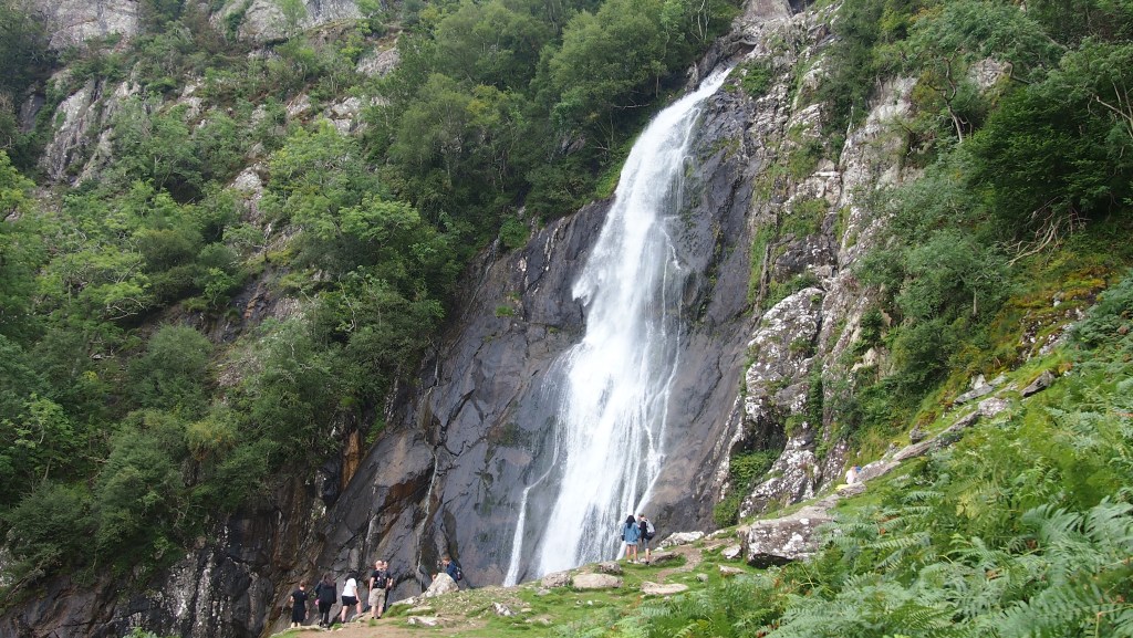
The falls close up were even more spectacular, perpendicular, and more impressive than others I’d seen in England, to my mind more of a sight than either Hawdraw Force or High Force. In fact the Aber falls reminded me of some falls we’d seen in Iceland and in the Pacific North West, although not quite as high or powerful as those.

Rhaeadr-Fawr

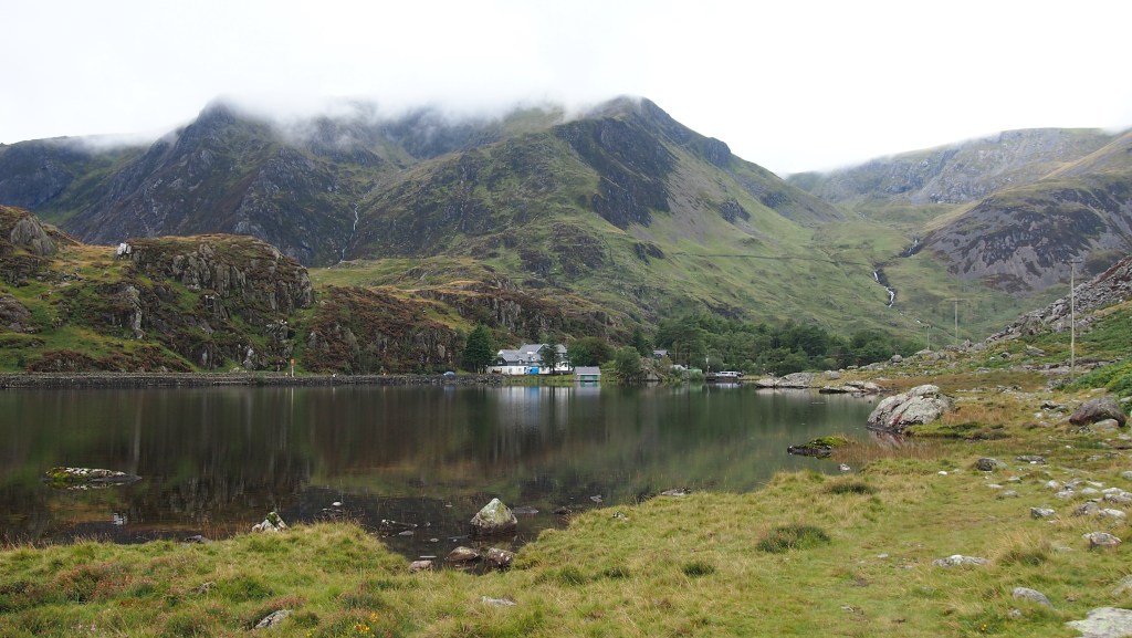
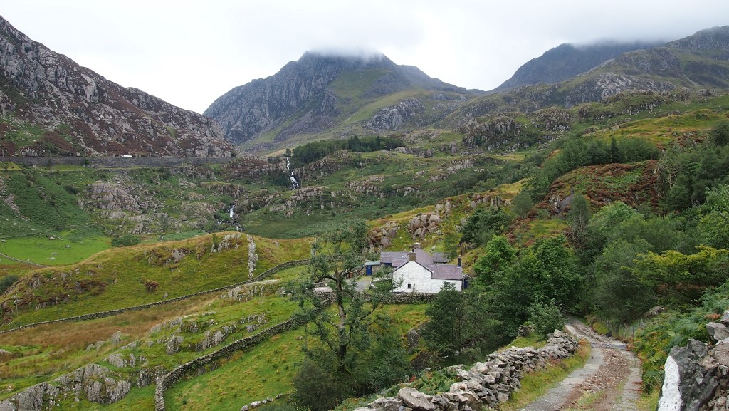
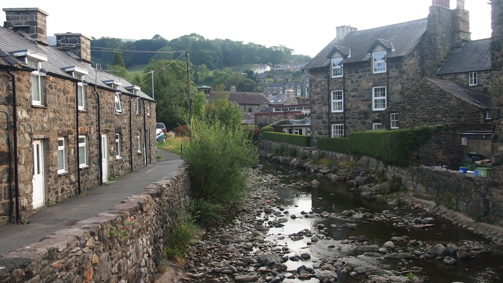
After passing the car park, everyone disappeared again and we were once more on our own, with a steep climb back up to the moors. From here we resumed our hillside moorland walk for a few more miles before descending steeply into Llanfairfechan, our base for the night.

We turned off here to Llanfairfechan

Because of the extra walking at the end to the place we were staying, the day amounted to over 14 miles, and we finished after 5pm once more.

Tomorrow is our last day’s walking, when we will walk on to Conwy, further east along the north Wales coast.

Walking the Snowdonia Way: Day 6

From early morning- and continuing when we started today’s walk at about 9 am- it was bucketing it down: proper Welsh torrential rain. But luckily within half and hour or so of starting we only had short bursts of rain , generally when we entered low cloud, and were able to enjoy another superb day of largely dry weather for walking. The ground, of course, was sodden.

Looking down the valley heading north west out of Capel Curig

The day’s walk to Bethesda from Capel Curig took us about seven hours, including a stop for lunch, a total of 13 miles. It was shorter and, on the whole, a lot easier than the previous day, with one notable exception, more of which later.

The first highlight was the long valley heading north west out of Capel Curig ( marked as Nant y Benglog on OS maps). This was an easy walk along a level surfaced path, with great views along the length of the valley and with low level white cloud drifting by.

Further up the valley

We then crossed the main road, the A5, and climbed a little around a farm to reach the northern side of Llyn Ogwen. As we walked above the lake the views became increasingly dramatic, while the path became increasingly boggy and rocky, which after the heavy rain of the night and morning made it very slippery.

Llyn Ogwen

Although in reality the distance alongside the lake is probably not much more than a mile, because of the need to watch every step, we took our time.

Further along the banks of the lake

The last part before the road was a real struggle, as the stony path became first a stream, and then a boulder field, with bog in between, and at the end, high steps up and down around a slab of slippery slate .

The boulders towards the end of the Llyn Ogwen walk

After a lunch stop at the National Trust cafe at Idwal cottage, we followed the lane ahead soon arriving at the head of the Nant Ffrancon valley where there are spectacular views ahead. You gradually descend to the left, and can also see the dark and rugged views back towards the mountains to the east.

Looking down Nant Ffrancon
Looking back the way we came, in Nant Ffrancon

Again, as with the start of today’s walk, this was easy walking, downhill on a lane. You could only imagine how the valley has been carved out of the landscape by a long melted glacier. To our right you could also just make out the A5, which seemed diminutive alongside the magnificent mountains of Carnedd Dafydd and Carnedd Llewelyn.

The A5, beneath a majestic peak

As the valley flattens out, we saw what looked like a small spoil heap of slate. As it turned out, this was just the start of an enormous series of such heaps, towering to our left for much of the way to Bethesda, where we caught a bus to Bangor for the night.

One of the massive spoil heaps of the Penrhyn slate works at Bethesda

Walking the Snowdonia Way: Day 5

The weather forecast was ominous- thunderstorms and weather warnings- and we had the longest day of the trip ahead of us. But plan for the worst and hope for the best, as they say, and as it turned out the weather wasn’t at all bad. Three or four spells of rain, of no more than 90 minutes out of ten hours walking. Yes, a long day ( 18 miles, 10 hours) and both of us were suffering at the end of it. But some more beautiful scenery and a change from what we’d encountered so far on this trip, once again.

The shore at Llyn Dinas

Leaving the pretty little village of Beddgelert, we soon encountered the first of two lakes, Llyn Dinas.

Perfect reflections on Llyn Dinas

Soon after the first lake was the second, which we first saw close at hand from a crag above it, before beginning the stiff climb to Bwlch y Rhediad, from where there were wonderful views back, and we had lunch.

The second lake of the day, Llyn Gwynant
Looking back on Llyn Gwynant from Bwlch y Rhediad

The rain first hit on the first part of this climb, and although it soon eased off, the slippery stones and slate meant we had to watch every step when we descended. As is often the case, once over the pass, the other side was very different- more reminiscent of the Pennines than the earlier Lake District like terrain, although the cloud covered Snowdon and surrounding mountains were there in the background, appearing and disappearing throughout the rest of the day.

The other side of the pass
The long walk down.

As described in the guidebook, this stage is designed to end in Dolwyddelan, but due to a lack of free accommodation there, we had an extra five mile walk to Capel Curig today. So one last climb up, a walk through the forest and then a painfully slow descent as we both tried to avoid slipping.

All through the day, we had been in and out of the clouds, accounting for short bursts of rain, and as we entered the final stretch we could see the wisps of cloud rolling by the mountains in front of us, providing a fitting end to a tough but spectacular days walking.

We didn’t reach our hotel until 7 pm, having started at 8.50, so a very long day. Thankfully, none of the remaining days should be that long.

Walking the Snowdonia Way: Day 4

According to the Snowdonia Way guidebook, today and yesterday could be combined as one long day from Trawsfynydd to Beddgelert. I’m quite certain that would have been a struggle for us – both to finish by nightfall and without collapsing in a heap- so I’m glad we split it the way we did into yesterday and today. As it was, we were able to enjoy this part of the walk, as we did yesterday’s , to the full, in the exceptional September weather.

The narrow gauge railway station at Penrhyndeudrath

It was another sunny, dry and warm day, but thankfully not quite as hot as the previous one. The initial walk took us on a mainly level path with some lovely views down over Penrhyndeudrath and the surrounding area. At the end of the first stretch, as we approached the road at Rhyd, we found the path blocked by cattle, so had to make a detour through brambles and bracken. Nothing like yesterday’s battle with the bog, but still left us with a few scratches.

The path to Rhyd was blocked by cows
The pretty village of Rhyd

After this , much of the day was a series of ups and downs across open moorland, with wonderful first views of the bigger mountains of Snowdonia and occasional glances of the sea.

Expansive views of the mountains beyond opened up in front of us

Then we descended to Nantmor, and another little railway halt, before following the path along the Pass of Aberglaslyn, understandably popular with day walkers. The path consists of about two miles of rocky boulders, alongside the falls and fast moving waters of the Afon Glaslyn and thoughtfully provided with steps, handrails and even grab handles at the more difficult bits. While I had never been here before it reminded me very much of previous walks I’ve done in Europe, such as the walk to the Pont d’Espagne from Cauterets in the French Pyrenees. Certainly a very attractive part of the Way, and one of the most attractive we’ve seen so far, on a walk that excels.

The Pass of Aberglaslyn

Finally , after our shortest day so far (only 10.7 miles) we arrived in the picturesque village of Beddgelert and our base for the night.

The footbridge at Beddgelert
Beddgelert

So, tomorrow a much longer day, and threats of thunderstorms and rain. But we are now about half way through our journey, and it’s been even better than I’d expected so far, so still a lot to look forward to.

Four days in, four to go

Walking the Snowdonia Way: Day 3

Today was a day of water. From the beauty of Llyn Trawsfynydd at the start of the day; a wander through a bog in the middle, where we somehow went wrong; to another reservoir, Llyn Tecwyn Uchal; and finally the Afon Dwyryd estuary at Penrhyndeudreath.

The bridge at Llyn Trawsfynydd

We began by crossing the bridge at Lake Trawsfynydd, where there were wonderful reflections across the water of the hills and mountains. We followed a trail marked as the Traws Lake path for a while, until we reached the dam, where we could see a single fishing boat nearby on the lake.

A lonely fishing boat on the waters of Llyn Trawsfynydd
View from near the dam

There were some mountain runners here, who looked to be suffering even more than us in the heat, as well as the usual mountain cyclists. As on other days we were grateful for a short spell under the tree cover as the heat started to bear down with the unseasonal,un-Welsh weather (26 C or more), bright and sunny.

Walks through woodland came as a relief from the intense sun

After lunch, and in the knowledge we’d walked over half of a shorter day than the others so far, we thought the remainder of the day would be easier, and mainly downhill. But there we were wrong. A short spell through boggy ground got worse and worse, and became nearly an hour of fighting our way through tussocky grass, marsh and streams. At one point my walking companion, Keith, sunk down up to his knee as the ground swallowed him up. Only a slight exaggeration!

Struggling through the marsh

Eventually , to our relief, we emerged onto a farm track and, from here on, the going was good and we made no further detours.

Another, much smaller, reservoir: Llyn Tecwyn Uchal

We walked along another reservoir, and then began the long descent towards the estuary of Afon Dwyryd. Here you could only think how it would have looked even better without the dominating row of pylons, which hopefully one day the national park will find a way of diverting or burying underground.

The Afon Dwyryd estuary

Finally we crossed along the long road and rail bridge into Penrhyndeudreath, by which time we were floundering in the heat, and glad that the walk had been a bit shorter today, at only around 11 miles.

A shorter day than the first two , as we headed west, before we go north again tomorrow.

Walking the Snowdonia Way: Day 2

Today was a walk of variety, walking from Dolgellau to Trawsfynydd. More up and down than yesterday and a little shorter, we had still clocked up 15.8 miles by the time we finished, after about seven hours.

Coming out of Dolgellau, we began with some narrow wooded paths along steep hillside with occasional views. There was a grey haze eerily obscuring the more distant views, but it was clear that once this lifted it was going to be hot day once again.

Some of the path was little precarious. This bit luckily had a fence

After the narrow hillside paths, we descended to the road and then followed some tracks through Forestry commission land at Tyn y Groes, popular with mountain bikers .

Entering the forest the paths were easier if sometime steeper,as the sun started to emerge
Conifers replaced deciduous trees as we walked through the area near Tyn y Groes
The views started to open up as we climbed

As we left Forestry commission land and entered commercial forestry , felled trees opened up the views, it got hotter, the path rocker underfoot and the path steeper. While the weather added to the beauty of the landscape, typically the hottest part of the day proved to be the part with the steepest climb.

A wonderful panorama opened to us as we emerged from the forest.

The final part of the walk proved the trickiest, with a complicated route on public rights of way across farmyards, through gates and over some stiles (one in particular in a drystone wall that had collapsed on one side needed care). A mother cow and her calf bolted in front of us from one of the barns, and we crossed some lumpy fields where you had to watch every step to avoid a twisted ankle. But a beautiful open hillside all around us, and the prospect that we were nearing the end of the walk spurred us on. Finally we emerged onto a lane, where a typical Welsh scene of sheep scampering across greeted us.

In front of us we could see the lake of Trawsfynydd ( and its defunct nuclear power plant), before we descended to the village of the same name to catch our bus back to Dolgellau, where were staying another night.

We are edging our way north

Walking the Snowdonia Way: Day 1

The Snowdonia Way is a new long distance walking route, 97 miles long, traversing the Snowdonia national park from Machynlleth in the south to Conwy in the north, devised by a guy called Alex Kendall, a mountain leader who lived in Snowdonia for over ten years. It’s actually two routes, a lower level route (which my friend Keith and I will be following) and a higher level mountain route (for the fit, young and ambitious).

We will be following the red route above. Thanks to Alex Kendall.

We’re going to be walking the route over eight days, the first of which we have just completed, as I sit here in Dolgellau.

So what are my first impressions?

Today’s walk
Bullocks block the route as we first leave Machynlleth

Well the first day was quite long, with 16 miles becoming an inevitable 17 after one small wrong turn up a hill about half way through the day.

But most of it was along lanes or good tracks, making it easy going. More importantly the scenery as you would expect was beautiful, helped by the exceptional September weather reaching about 25 C.

Quiet lanes around hills and through forest

The starting point, Machynlleth, was easily reached by train via Birmingham. ( the most difficult bit being how to pronounce it!). The town has a small selection of shops, including two bookshops and a couple of places to stock up with food.

Machynlleth

As you might expect, the area is dominated by the local industry, slate, with the area recently a recipient of UNESCO world heritage site status. We passed through areas of slate mining, slate heaps, slate fences, and houses built and roofed of slate. Being a local material it seems very much part of the landscape and adds character to the surroundings.

We passed through an area of slate quarrying and slate waste heaps

The route started with some gentle climbs, followed by level walking before the first significant climb of about 300 metres- steep but not long, and then a descent the other side of the hill.

Gentle climbs and level walking were the order of most of the day
But there was one steep climb and descent

All the way though there were magnificent panoramas of hills and forest. Finally, nine hours after leaving Machynlleth we arrived in Dolgellau, a bigger town where we were ready to end a first days walking. A great start to eight days of walking, where we hope to see best of Snowdonia as we make our way north.

The river at Dollgellau

What makes a good long-distance walking trail?

As with most things, this is a matter of opinion, but here are my thoughts based on 25 years of long distance walking.

1. Scenic highlights

For many this will be the whole point of walking a trail. And long distance trails invariably have them, though you must also be prepared sometimes for duller parts in between.

High Cup Nick, on the Pennine Way

2. Variety

In my view, the best long distance walks should have a range of different landscapes and terrains, not necessarily all on the same day, but between days. One of the benefits of a long distance walk is that rather than walking round in a circle back to your starting point, you are moving on and it is often surprising how in a few miles the terrain can change completely.

One of the best examples of this is the Coast to Coast walk, which passes through three national parks and a lot of places in between. You go from coast to lake, to fell, to moorland, farmland, river bank many times and it never gets boring.

Approaching the end of the coast to Coast walk near Robin Hood’s Bay
Helm Crag, on the Coast to Coast Walk

3. Less-explored places

Let’s face it, we have all been to scenic spots only to find that dozens, maybe scores of people have had the same idea. What is nice about many long distance walks is they can take you to places off the beaten track, far from a car park, or less well known.

The Scottish Borders are a much underrated area for walking

Alternatively, time your long distance hike so that you visit ‘honey pot’ areas midweek outside of school holidays. You’d be surprised how much difference it makes. And thankfully, usually, day trippers can be a bit unimaginative and once you are a little way from the car park they thin out anyway.

Malham Cove, eerily surrounded in mist, midweek in September 2014.

4. A purpose to aim for, or a feature to follow

Many, if not most , long distance trails have an ostensible purpose, whether it’s traversing an area or walking coast to coast, following a historic route or natural feature like the Ridgeway or Hadrian’s Wall.

This adds to a sense of satisfaction for the walker, gives you something to aim for, and can make the end seem more satisfying rather than a bit of an anti-climax.

Hadrian’s Wall, near Once Brewed

5. Interesting places to stay

While not essential, interesting places to stay- either accommodation, or towns or villages- can add much to the experience of a long distance walk. If you’re doing a walk of more than a week, and some long days, a rest day , but where there is something to do, can be a nice change and give your feet a rest.

The Brocken hotel, in an old East German listening post near the former GDR border

6. Bag carrying service

Some people make a virtue out of being self sufficient, simply enjoy camping, or want to save money. But having only rarely carried everything I need for a multi day trek on my back, I can assure you that it is always more enjoyable to have a light day sack and let someone else drive your bags onto the next base. It’s rarely more than about £20 a day if there are two or more of you, and in my view well worth every penny.

Walking on the Routeburn Track, New Zealand, carrying our own food and cooking gear
The Clockmakers’ trail, in the Black Forest, where our overnight bags were driven on for us

7. Days not too long

It is surprising what you sometimes feel is possible when planning a walk. The reality is that walking for more than 8 or 9 hours a day is going to leave you tired, and rushed for time when you arrive at your overnight stop, besides , depending on the time of year, risking running out of daylight.

Don’t be over ambitious with your rate of walking. Learn what your average speed over a day is on the flat, and up and down hill is, and plan accordingly. Allow a little extra for getting off track, and for pauses for lunch or snacks. Don’t simply look at the mileage and remember to keep track of you pace as the day progresses. A gps is ideal for this.

The end of a long day on the Southern Upland Way, approaching the Tibbie Shiels Inn on St Mary’s Loch after a 22 mile, 10 hour walk from Moffat

8. Choose your companion(s) carefully

Last but not least, make sure , if you are walking with other people, that your capabilities, stamina, health, interest and expectations are similar. With a long distance walk it’s more than a holiday, where you can find even your best friend starts to get on your nerves. I’ve seen couples arguing with one another , one of them threatening to give up, not least because one other did not realise what the distance and the experience would be like. My daughter experienced the frictions of a Duke of Edinburgh camping weekend with disagreements over which way to go. Make sure you do at least one full comparable walking day together first, using the same gear you plan to take. Out in the middle of nowhere it won’t be possible to fix a leaky boot easily or stop a walk early with no means of transport onward.

But don’ t let this put you off.

There are some great long distance walks out there, many in the UK, and once you have the bug you won’t’ t look back.

A beautiful early autumn day on the Wicklow Way, Republic of Ireland

Free at last?

It’s been a long and hard winter. We’ve been luckier than many, staying healthy, working at home and having our daughter (and her dog) with us for three months, rather than at university. But nevertheless getting vaccinated and being able to get out for more than a very local walk, along with a burst of spring warmth and sunshine last week, felt liberating.

Reynards Hill, Surrey, last Tuesday

Last Tuesday , in that brief preview of spring and summer, I finally did my first proper walk fully outside Greater London since last October. My route took me from Gomshall station up onto the Greensand ridge, west of Leith Hill and a succession of ‘peaks’ (what counts for a peak here in southeast England!) and dips before descending through beautiful Blackheath to Chilworth, a ushaped walk of just over 14 miles. It’s all part of the Surrey Hills area of outstanding natural beauty and one of my favourite walking areas in the whole south east. Reaching the Greensand way , and skipping Leith Hill, having been there only last year, going east to west you climb first Holmbury Hill, dip down to the Duke of Kent school, before climbing again to Pitch Hill, the Ewhurst windmill and then Reynards Hill.

Steeply down

Even before the deciduous trees have their leaves, with daffodils appearing, scattered pines, a blue sky, panoramic views from the hilltops and unseasonal warmth, it was a wonderful change from our south London house, the grey streets and our (now very familiar) local parks.

Ewhurst windmill

The downhill via Blackheath, with its wonderful sandy heathland, was equally beautiful, as I made my way down to Chilworth station, I lingered at times, but who wouldn’t want to?

Let’s hope we are all able to have many more days like this soon.

What’s a thousand miles?

The truth is not as much as you think. The reality is that most of us will walk many thousands of miles in our lives. So it’s not really a question of how far, but how fast.

Crystal Palace Park lake, last week

Last week I clocked up 1,000 miles walked outside this year, so far. But not really in the way I imagined! 2020 has hardly been a normal year for anyone, but the walk around my local park, a circuit of just over two miles a day has taken on a whole new meaning, and has been what has kept me sane, certainly during the lockdowns.

Sure, during the summer I was able to get out and do a 10 or 15 mile walk in Surrey, Kent or Sussex most weeks. And these seemed particularly special. I even managed four days near Aviemore. But certainly nothing like the 470 miles in the Alps which I had planned.

I hope that we all have begun to appreciate a little more what we do have. As these pictures of the local park in November show, the beauty of nature, compared to the drabness of the office or factory, school or train is incomparable.

The famous dinosaurs are a feature of my daily walk

It’s nice to have a target too. As the crow flies, 1000 miles would take me from our house to Stockholm, to Seville, or to Belgrade. So it feels like an achievement. And I’m not stopping there. I’ll see how far I get by the end of the year, and try and beat it next, hopefully including the Alps this time.

Today was one of the wettest walks I’ve done round the park this year, but it had a charm of its own with the smells and colours, and far fewer people than normal. Much better than what I used to do, a trudge from Victoria station to the office, and then back eight hours later. And I feel better for it too.

Design a site like this with WordPress.com
Get started