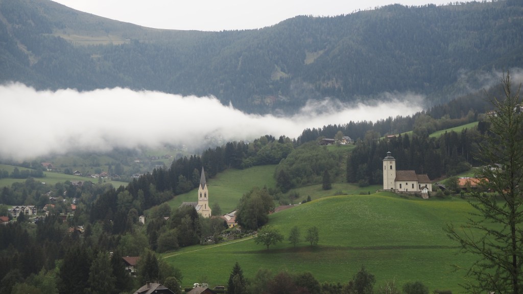
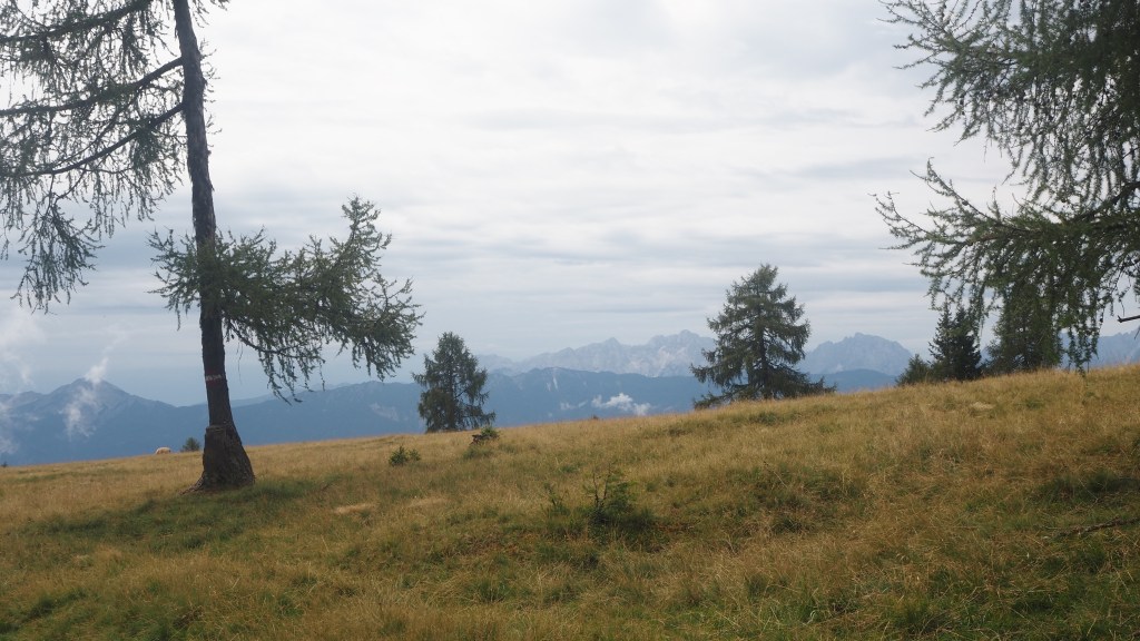
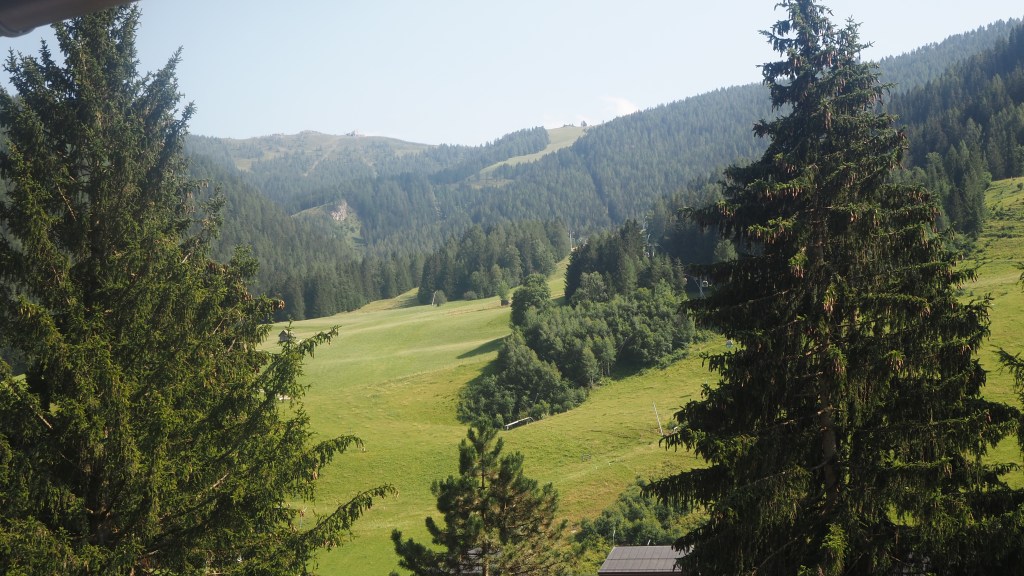
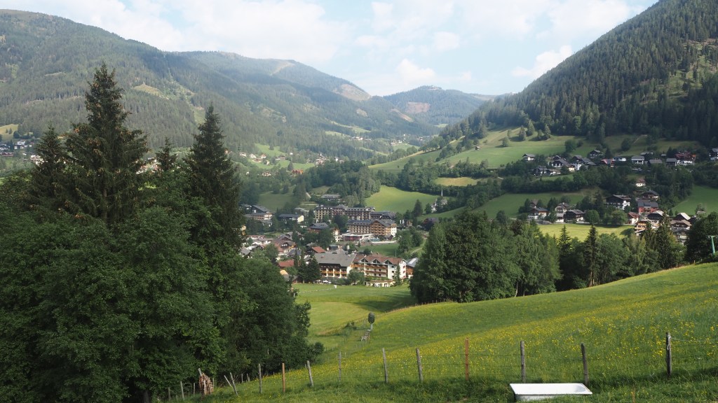
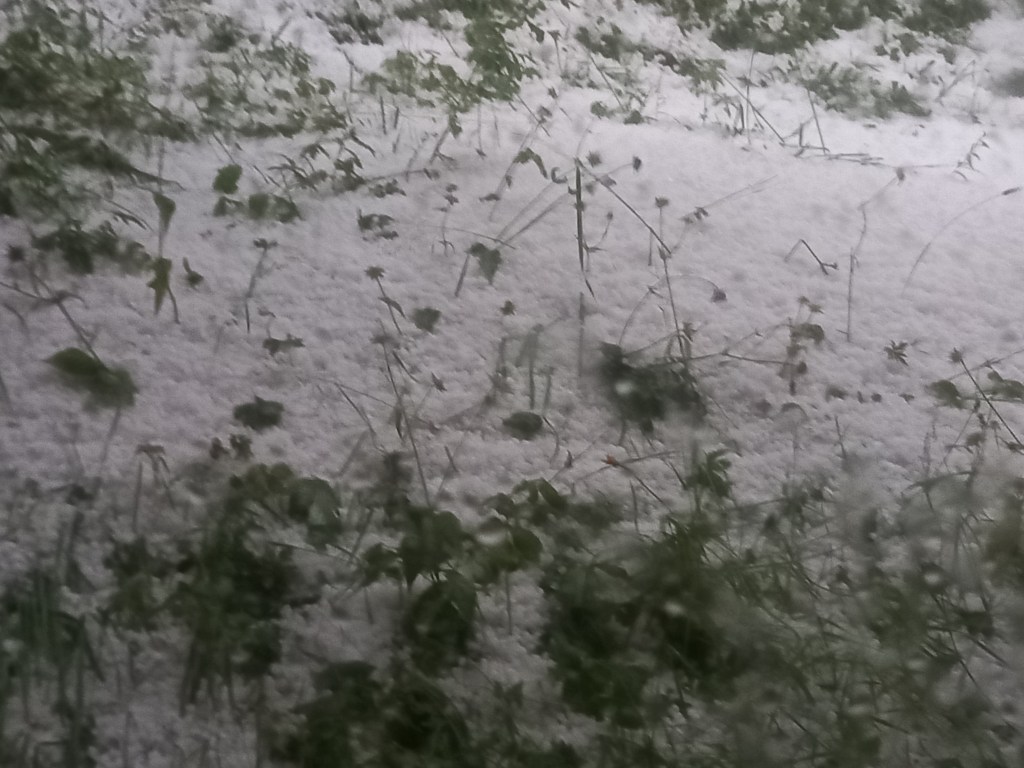
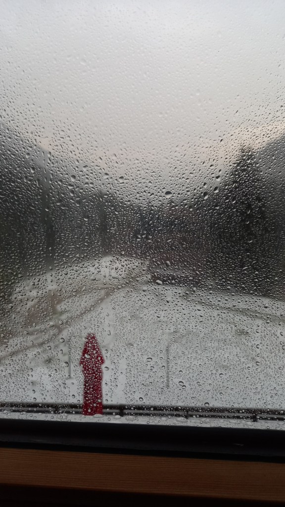
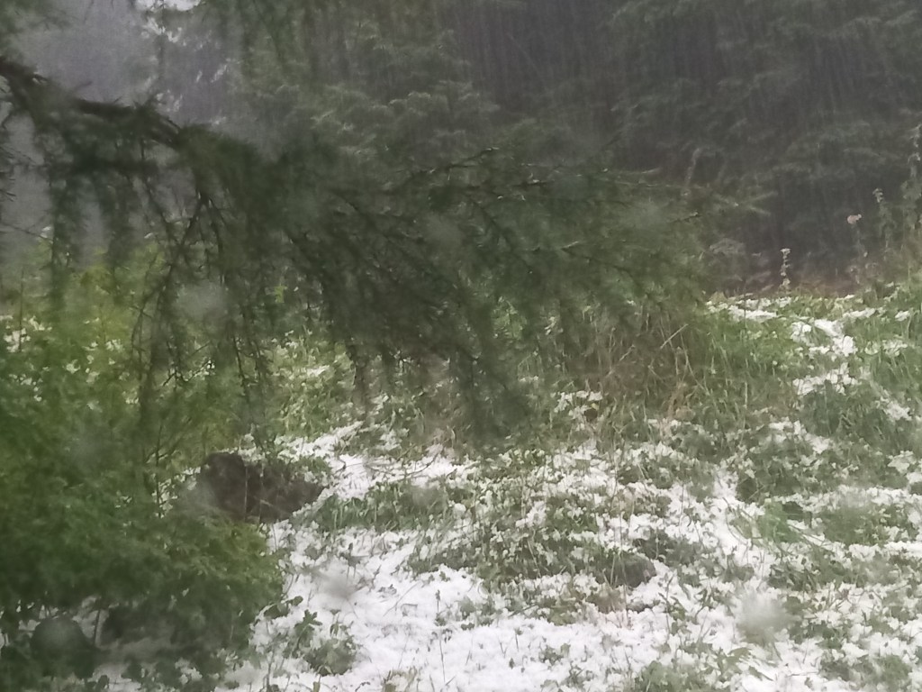
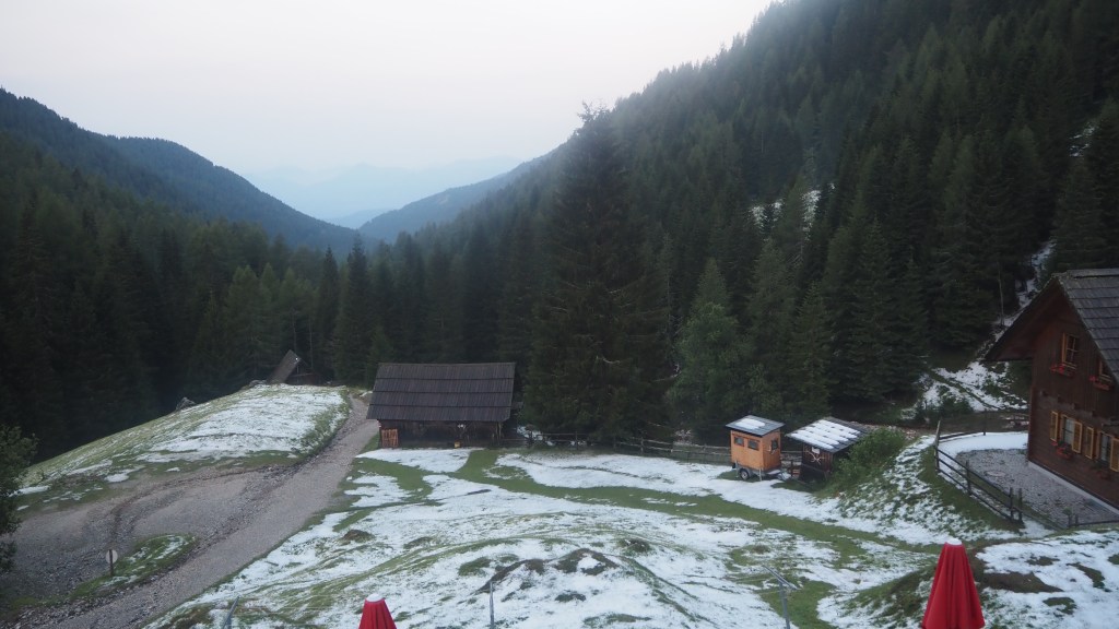
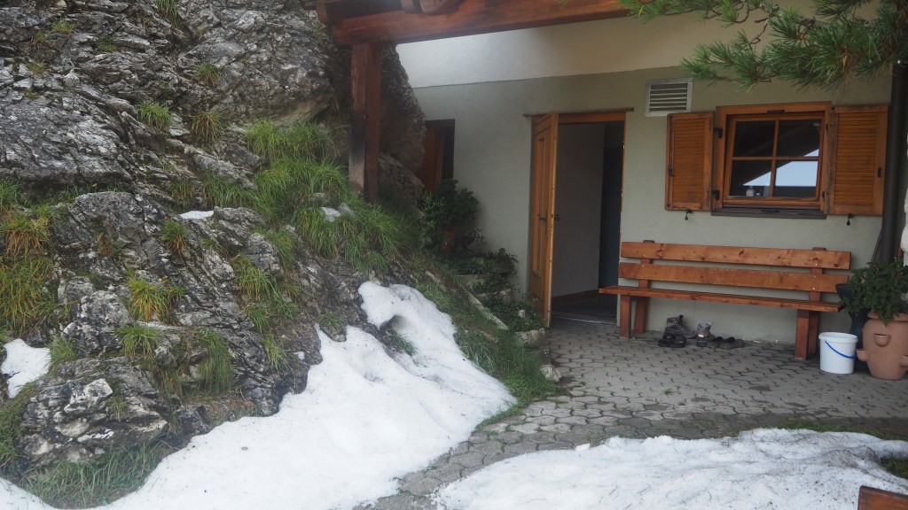
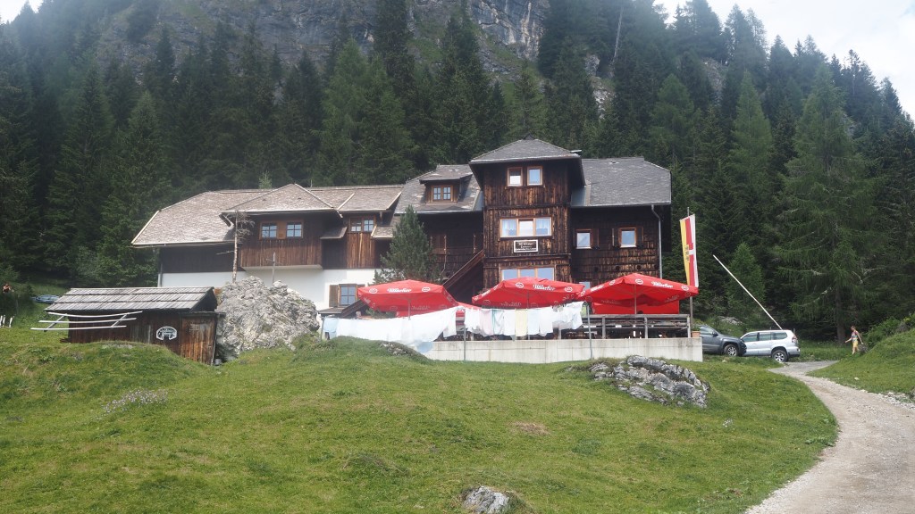
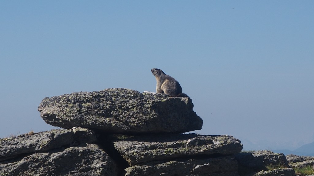
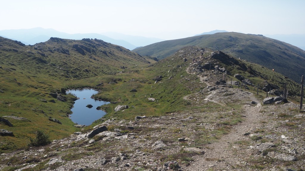
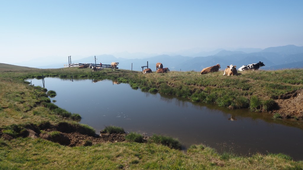
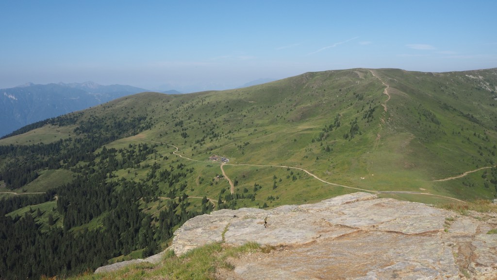
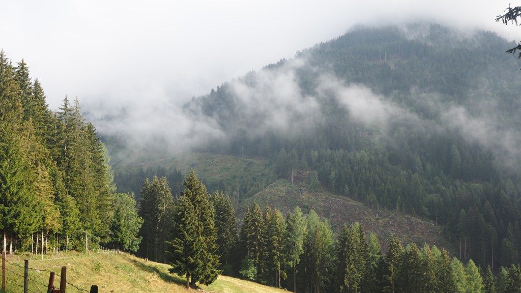
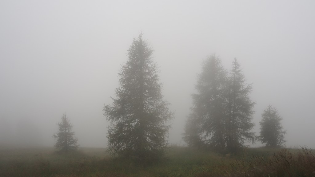
Opening the curtains of my hotel room this morning this is the scene which greeted me.
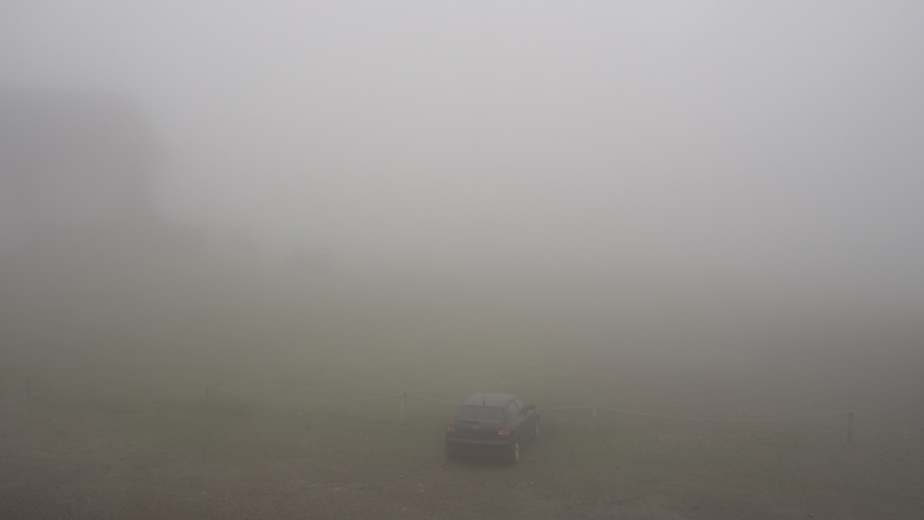
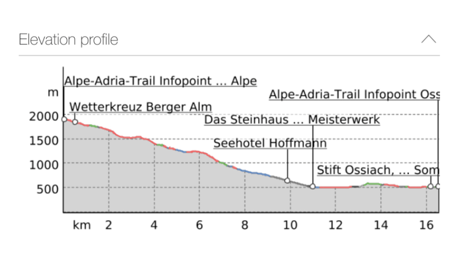
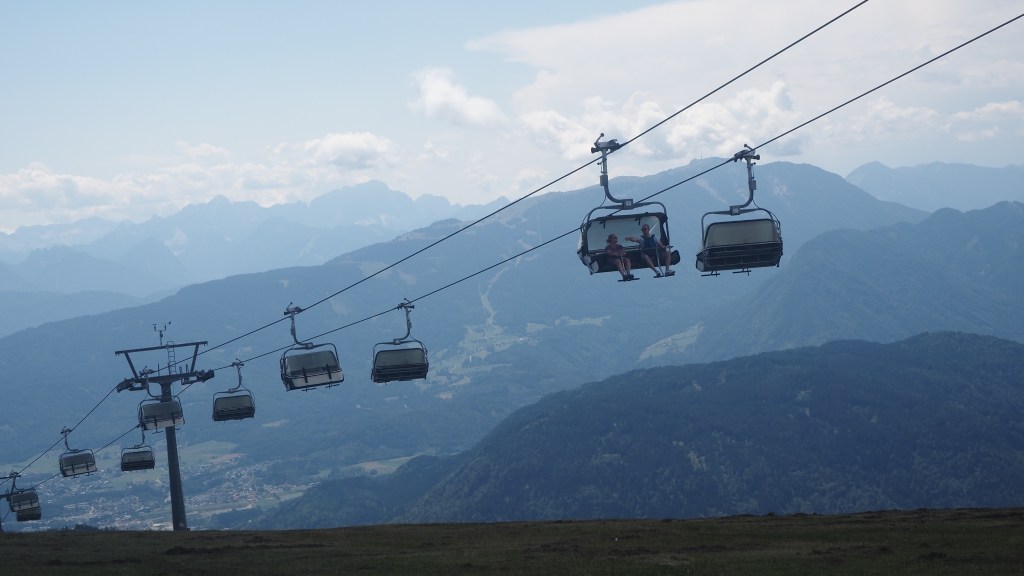
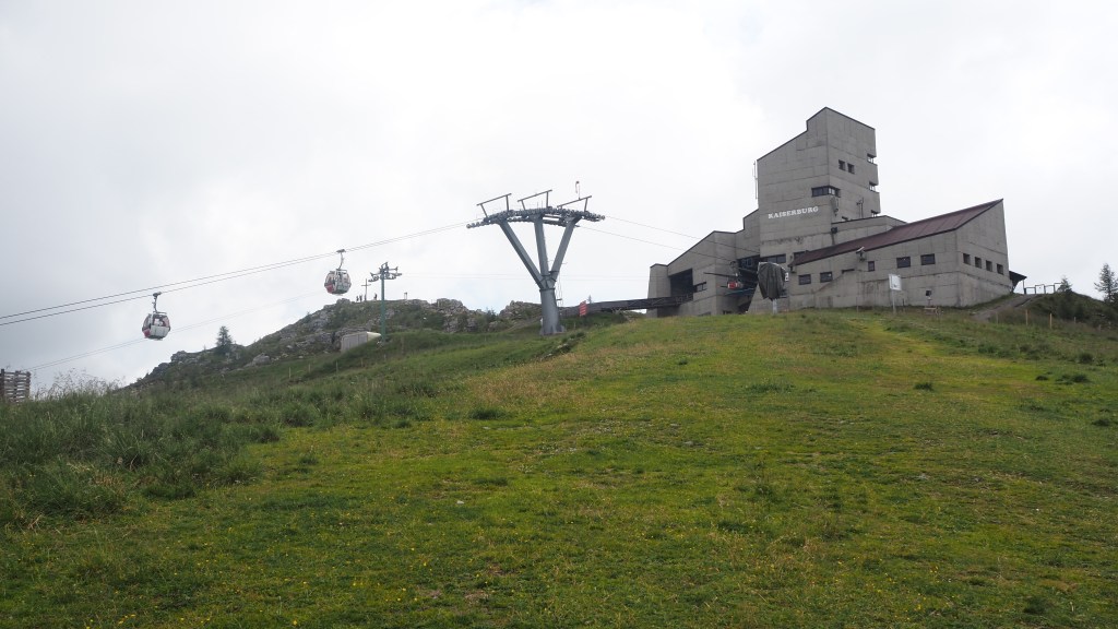
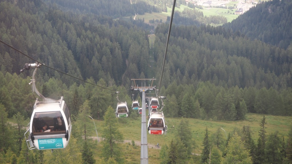
I guess it is to be expected, when you’re staying in a hotel at the top of a chair lift, 1900 metres above sea level, that you might get some low cloud. But it wasn’t something I’d thought about last night, when the threatened storms had finally hit in the early evening. As a result I hadn’t been out to get my bearings, and when it came to looking first for the top of the chair lift (to deposit my luggage, for onward transport), and then the actual start of the walk, I realised that, with viability down to only about 10 or 15 metres, this was not going to be easy.
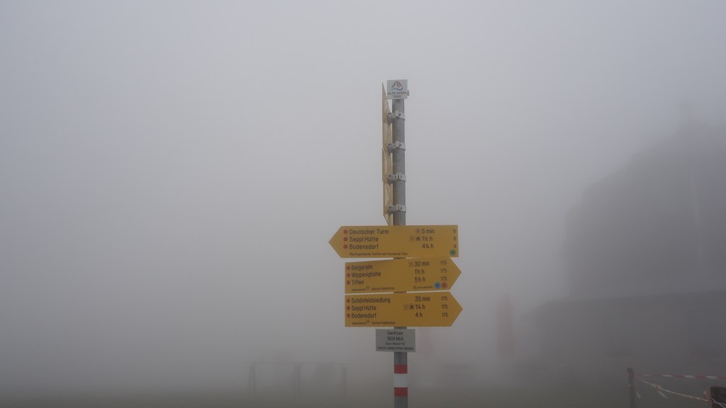
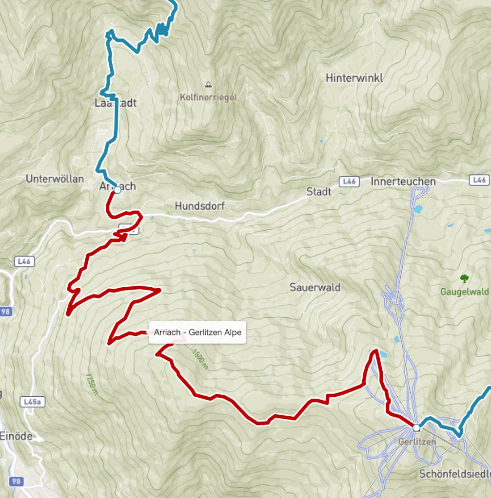
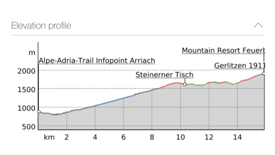
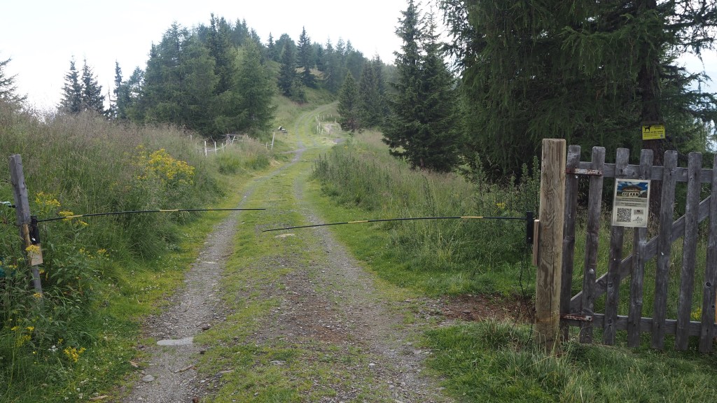
The trouble was I knew there was a collection of three or four buildings at the top, but I couldn’t remember where there were in relation to each other or what each of them were. All I could see were vague shapes when I was right on top of them. The chair lift was discernible from the sound of the engine. But then I must have wandered round about ten minutes just to get back to the hotel. Having done that , luckily I had remembered that the AAT information point- the start of today’s walk- was just below the hotel’s restaurant terrace. Then I saw a path and – as it seemed to be heading NNE which was what was advised in the guidebook- I took it.
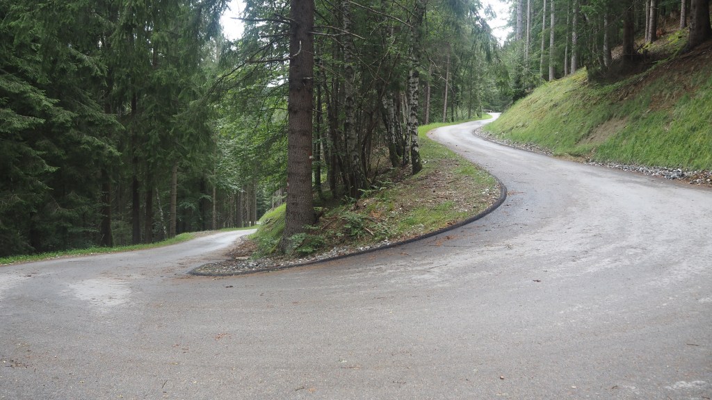
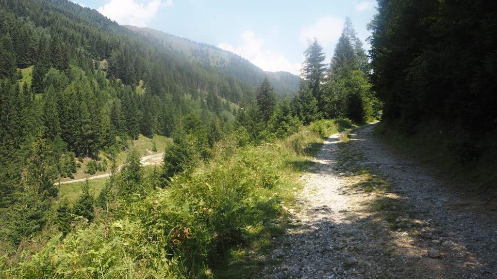
Within about five minutes I’d missed a turn off, and had to go back, but then I descended a road and the visibility started to improve a bit. It was slow progress though, and it wasn’t until I was down to about 1750 metres that I could properly see ahead where I was going, and even then the forest remained eerily surrounded by cloud.
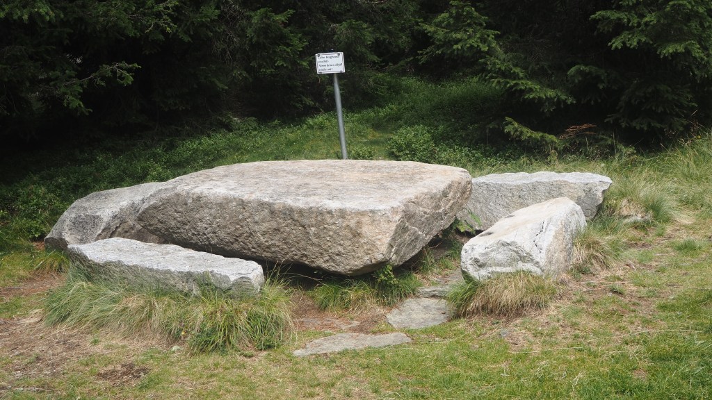
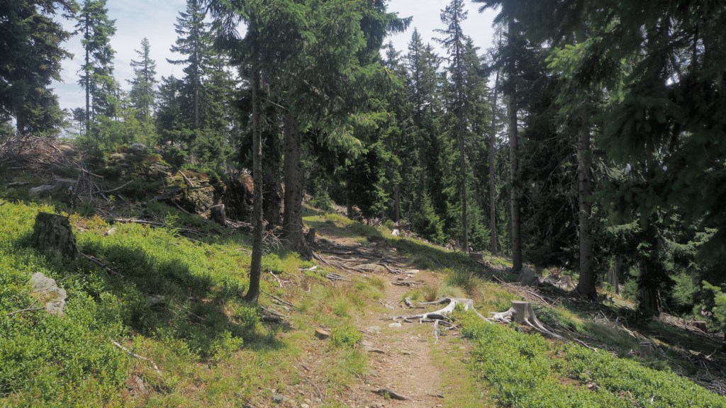
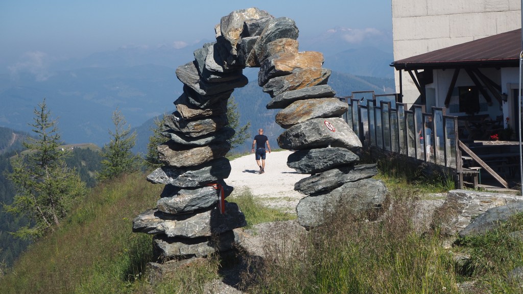
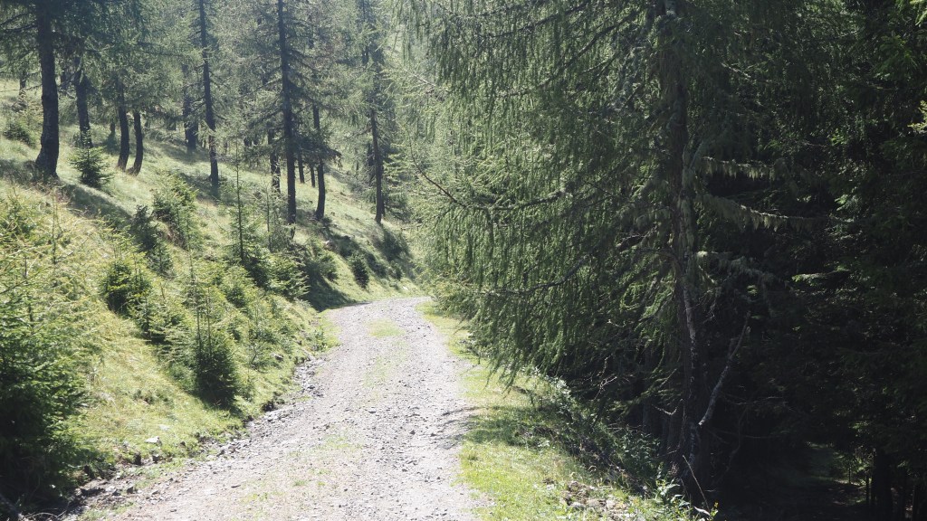
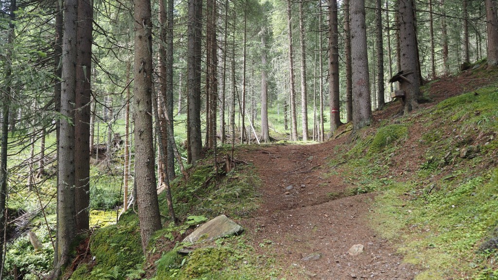
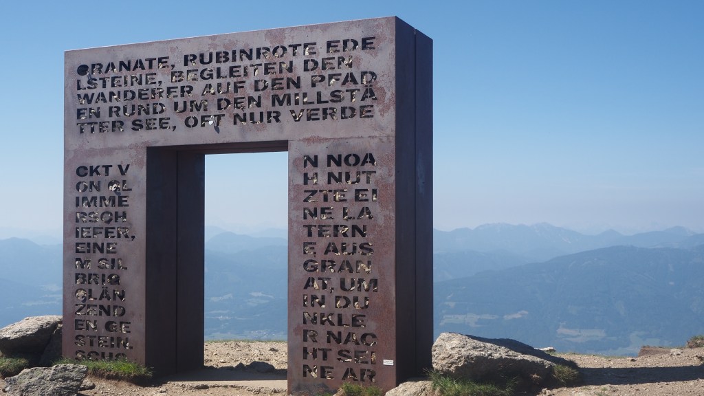
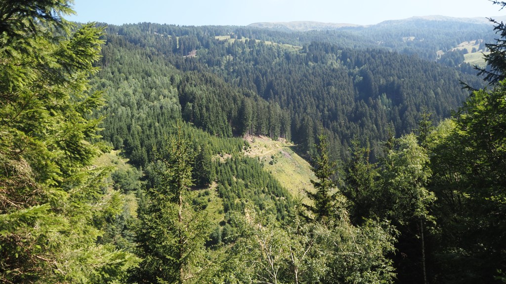
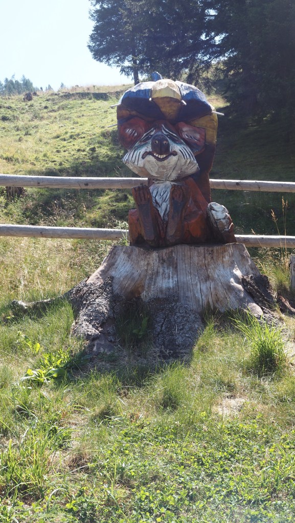
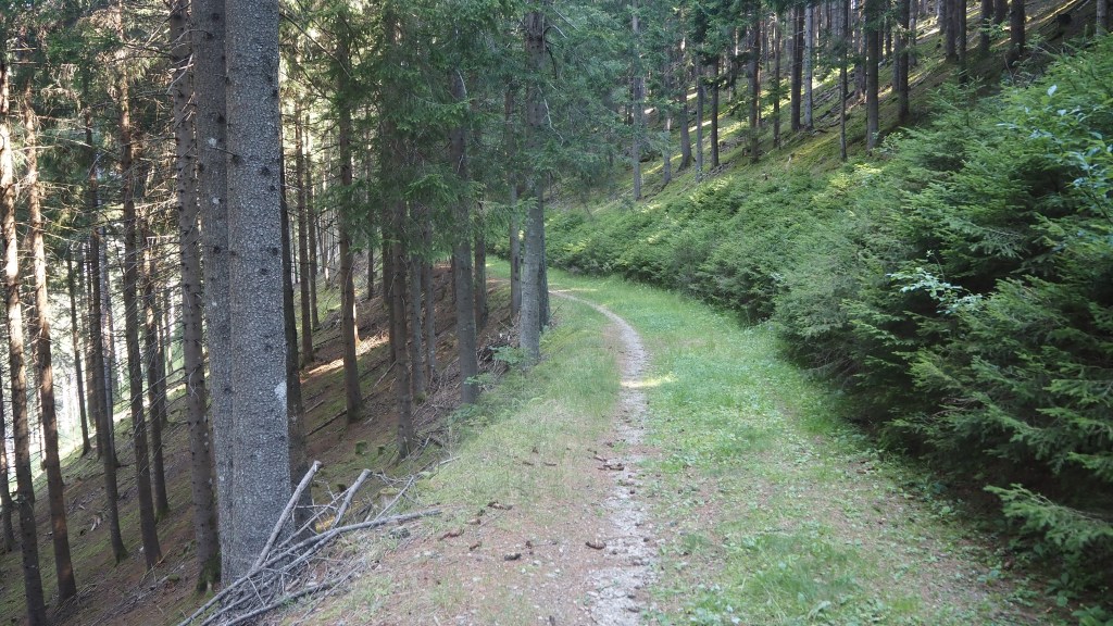
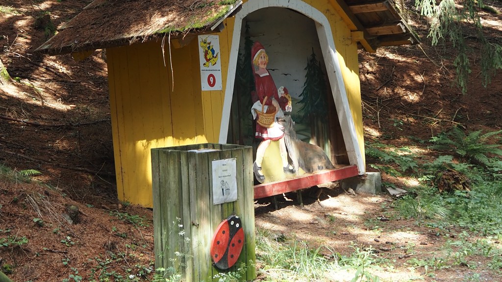
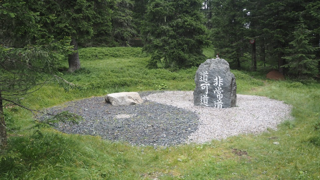
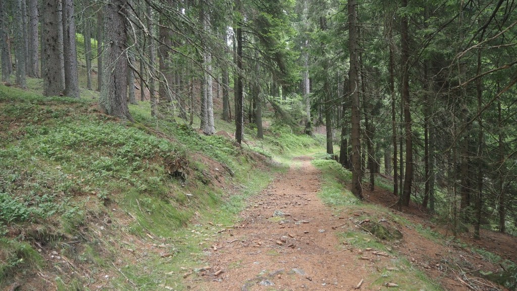
I turned off the road and passed a strange set of art installations alongside the path, including a ‘philosophical door’ and ‘Yin and Yang’. The path descended gently , with green moss abundant, mushrooms and once more, the dominant smell of pine.
It was a lovely part of the walk, and I wish it could have carried on like this for longer.
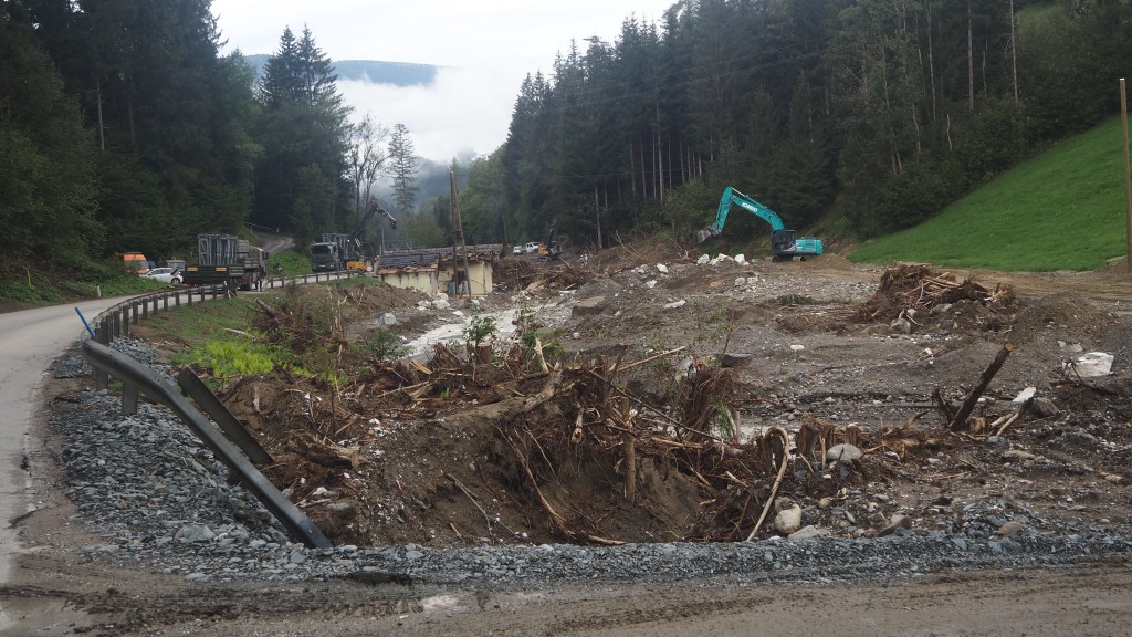
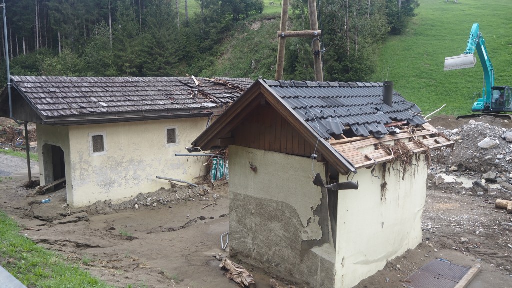
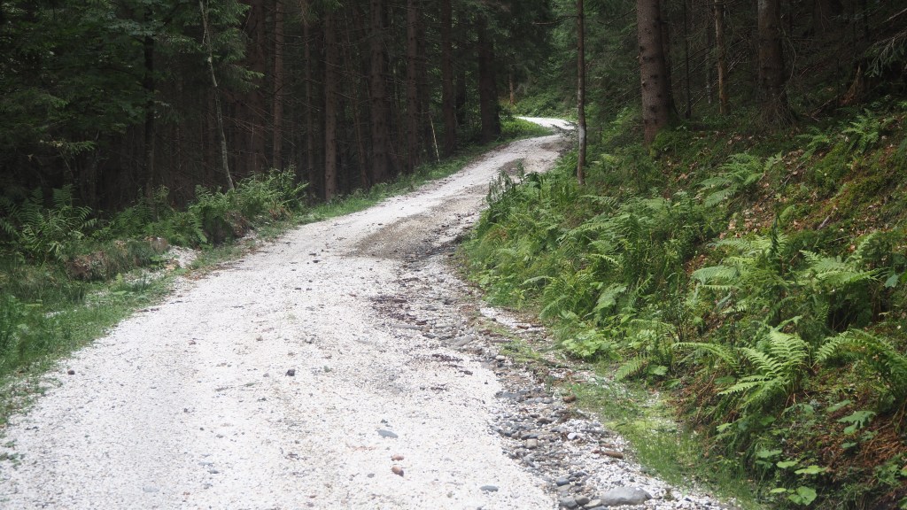
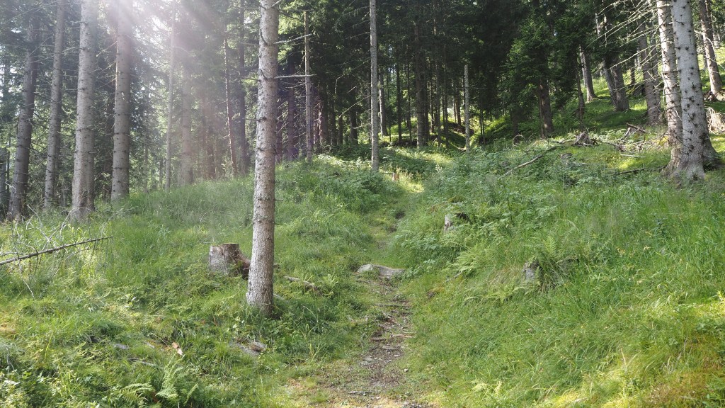
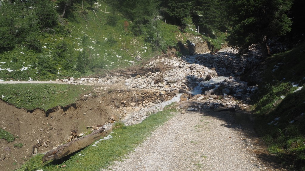
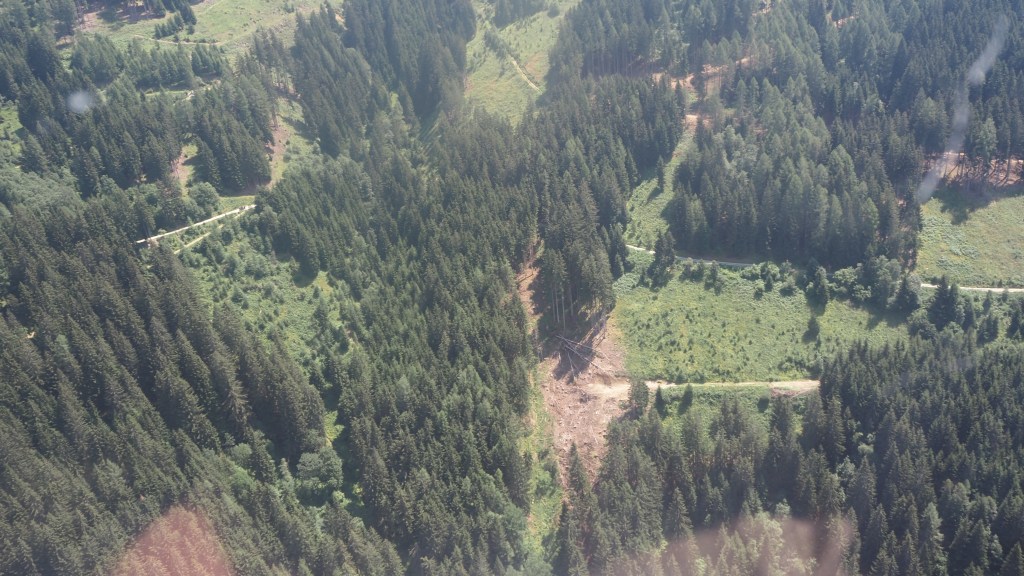
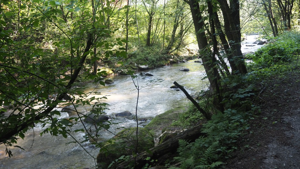
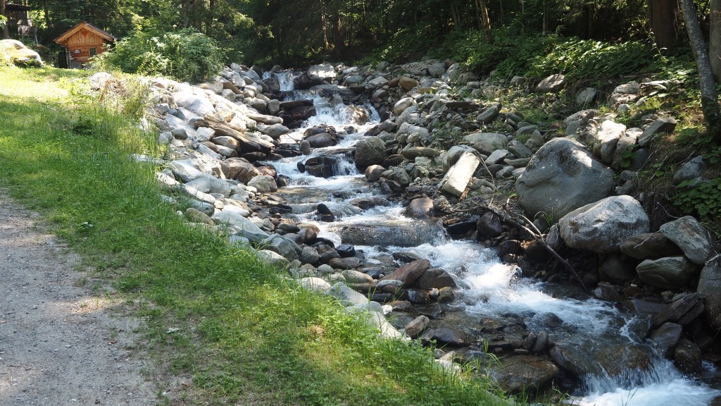
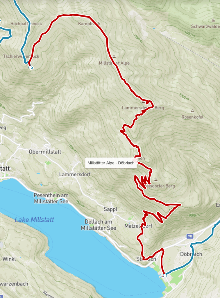
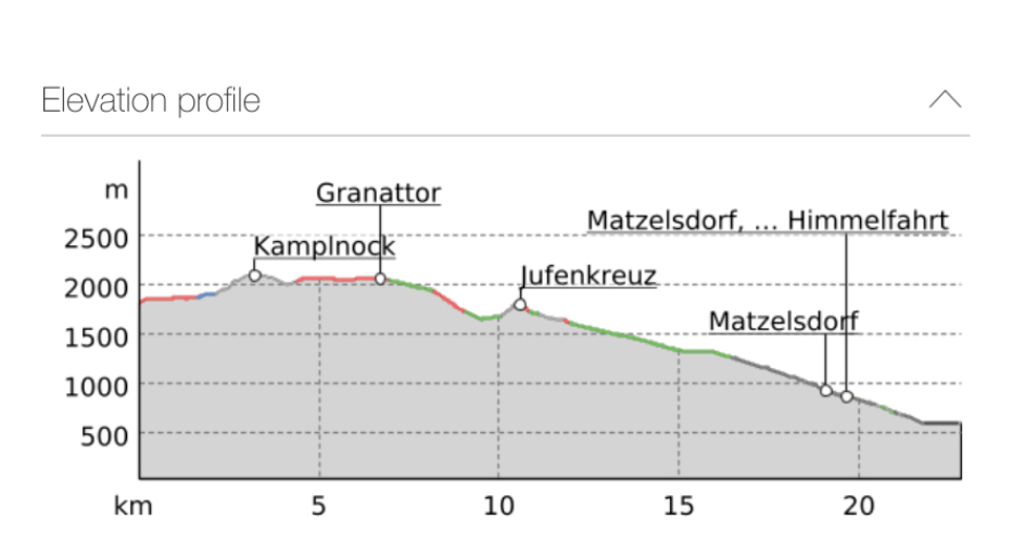
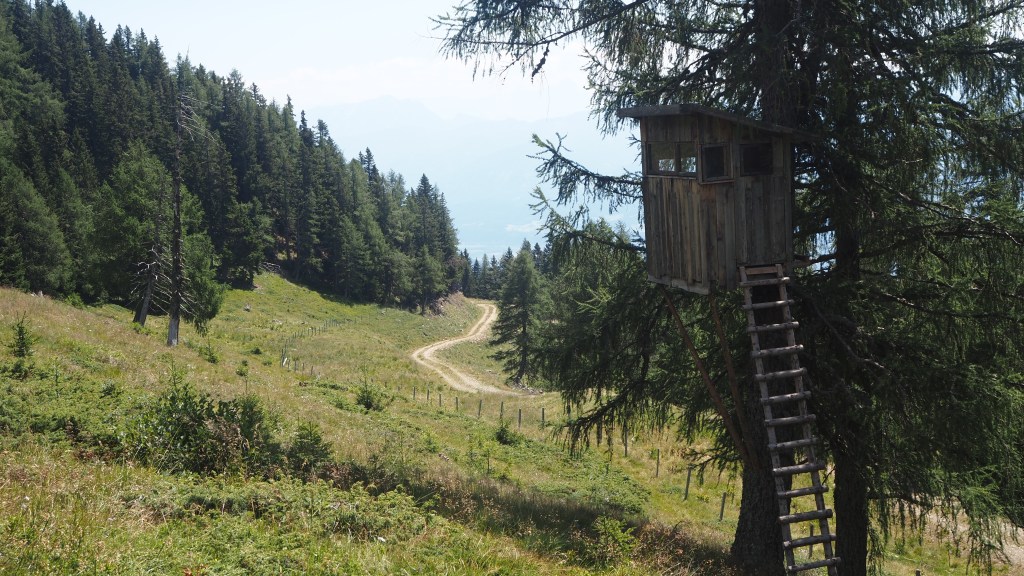
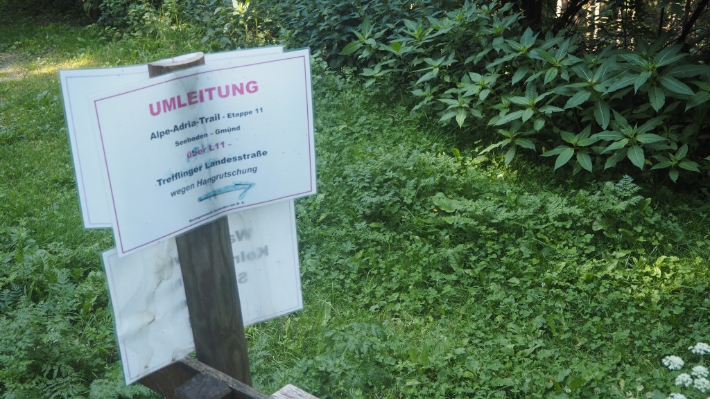
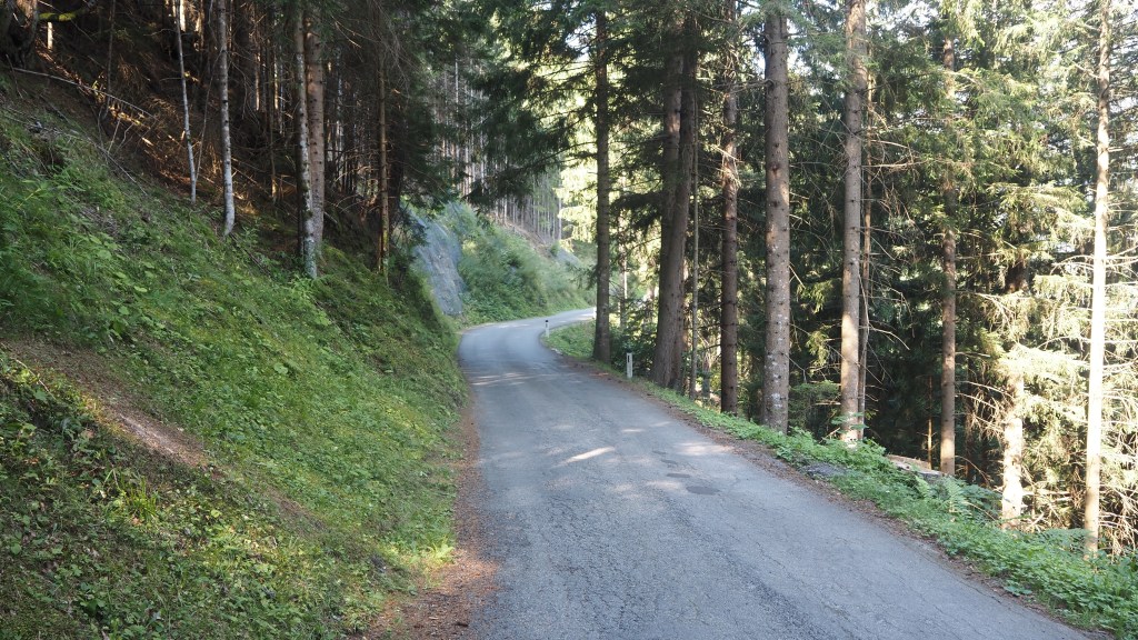
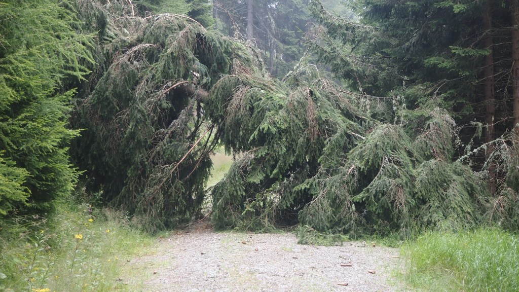
After a while I came to more evidence of recent storm damage, a closed path and a footpath diversion. The revised route was fine, but it probably added another two km to the route, and after crossing a few small streams the path started to descend steeply and the route became more difficult.
There were some flimsy looking ropes alongside the path providing little protection if had fallen. There was a tricky high stile to cross, which wobbled as tried to get over it, and had quite a drop the other side of it to contend with. Unfortunately this part of the walk seemed to go on for ever, and by the time I finally emerged from the forest, to see the sun for the first time that day, my blistered little toe was also starting to feel quite painful.
According to the guide book, I should have reached this point after two and half hours, but it took me a four and half, so clearly I was even slower than usual going down. Yesterday, going up, I had actually ‘beaten’ the guide book time), but today’s walk was supposed to be shorter. Not for me.
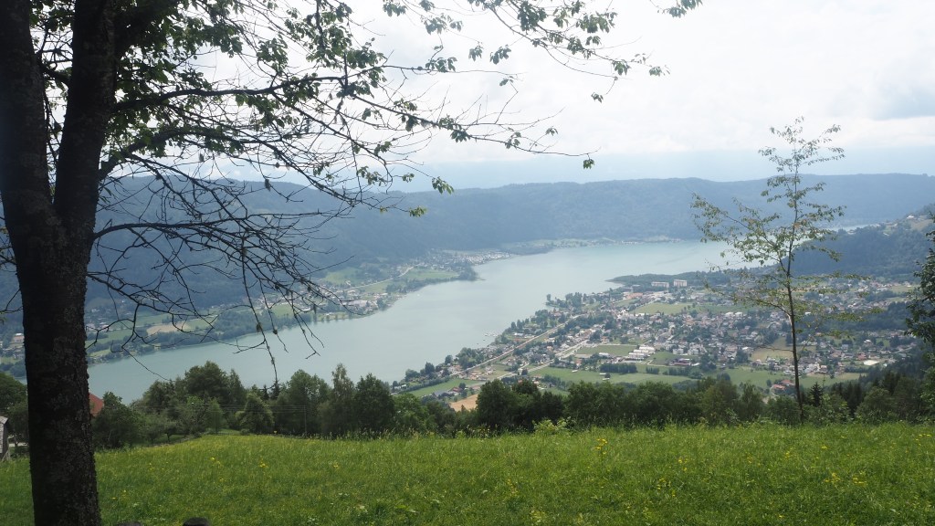
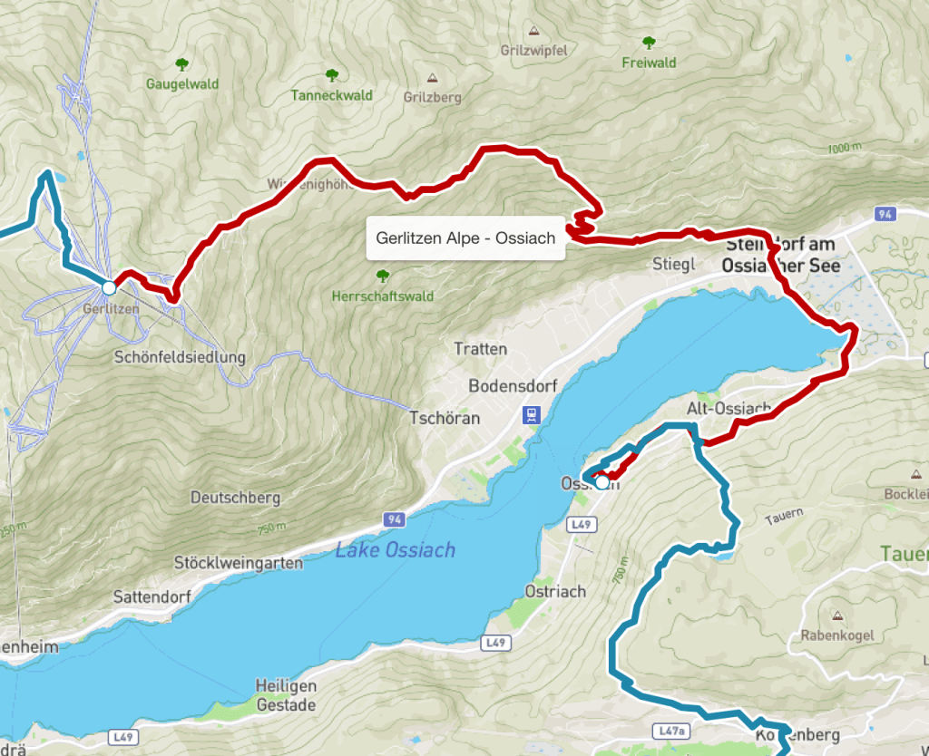
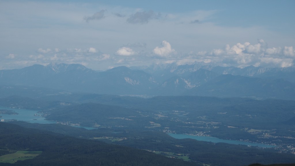
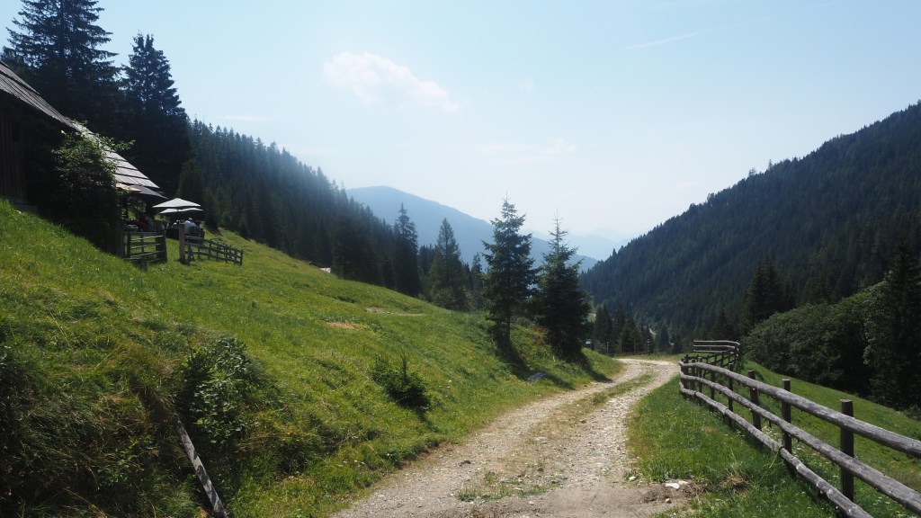
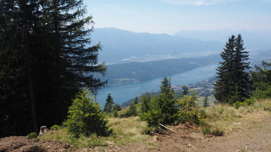
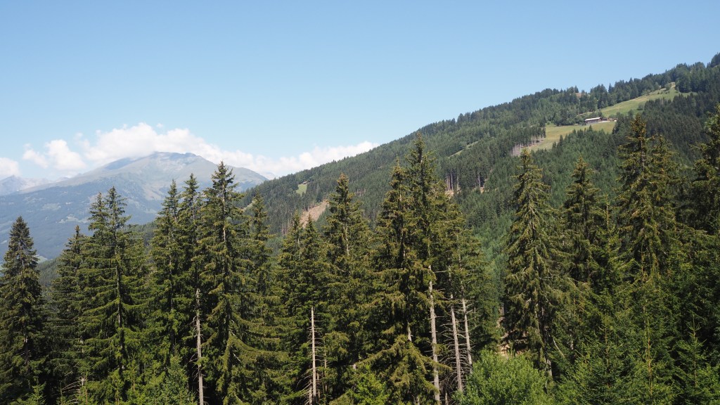
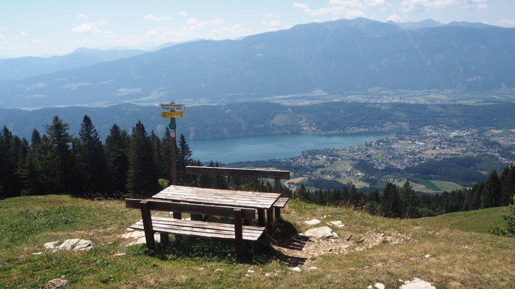
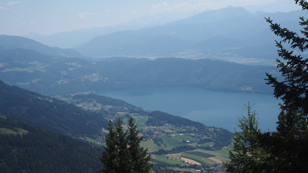
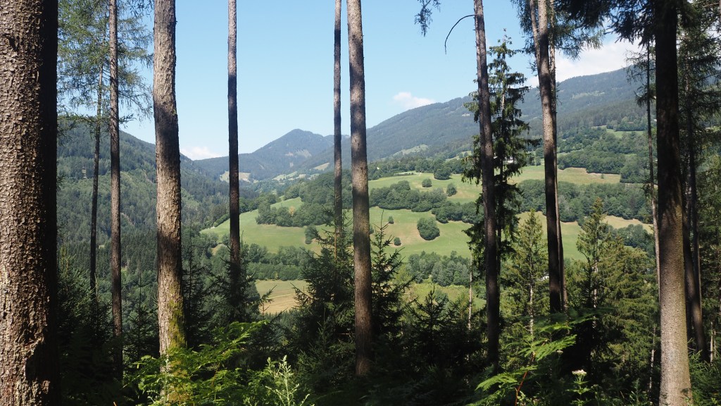
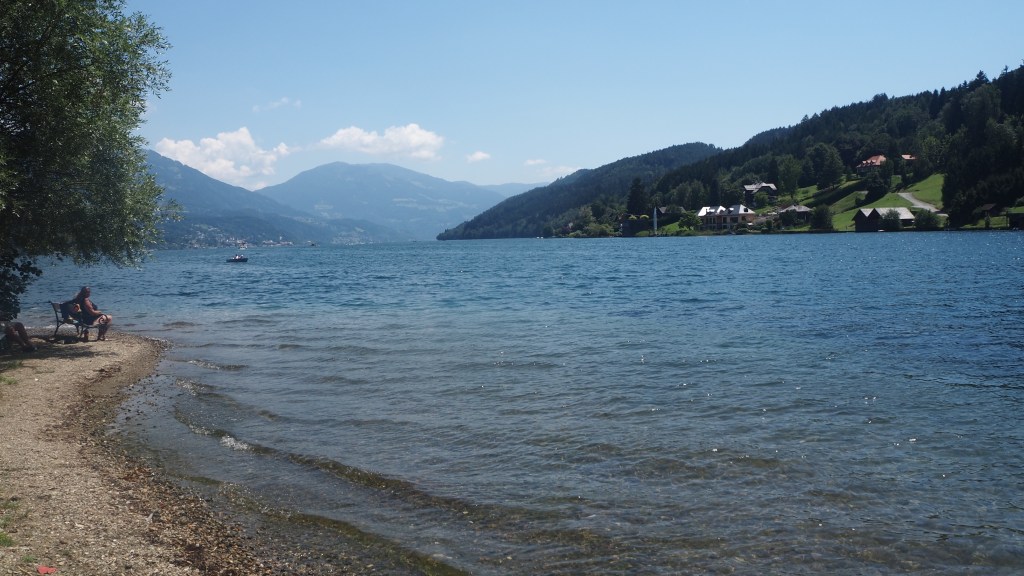
Exiting the forest I had my first sight of the lake down below, Ossiacher See. The gradient eased a little, but this simply meant it took longer than ever, by a series of long switchbacks in the road, to actually get down to the village of Golk, cross the railway line, and emerge by the banks of the lake.
At this point it chose to suddenly rain heavily, and looking like it was going to last, I reluctantly donned my waterproof top and trousers, only to have to take them off 15 minutes later as it stopped and the temperature rose.
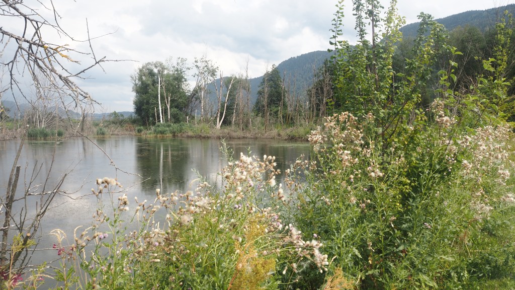
The next part of the walk was a lovely, flat interlude, between Ossiacher See on my right, and a wetland nature reserve, Bleistatter Moor on my left. But by this time I was flagging, and had realised I still had an hour’s walk round to Ossiach, which was on the opposite side of the lake.
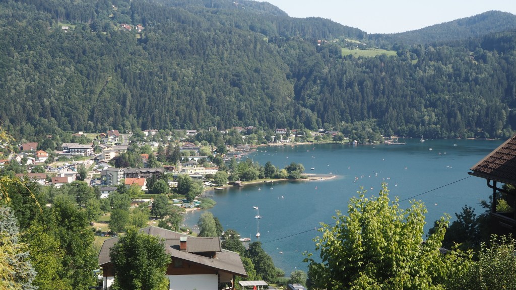
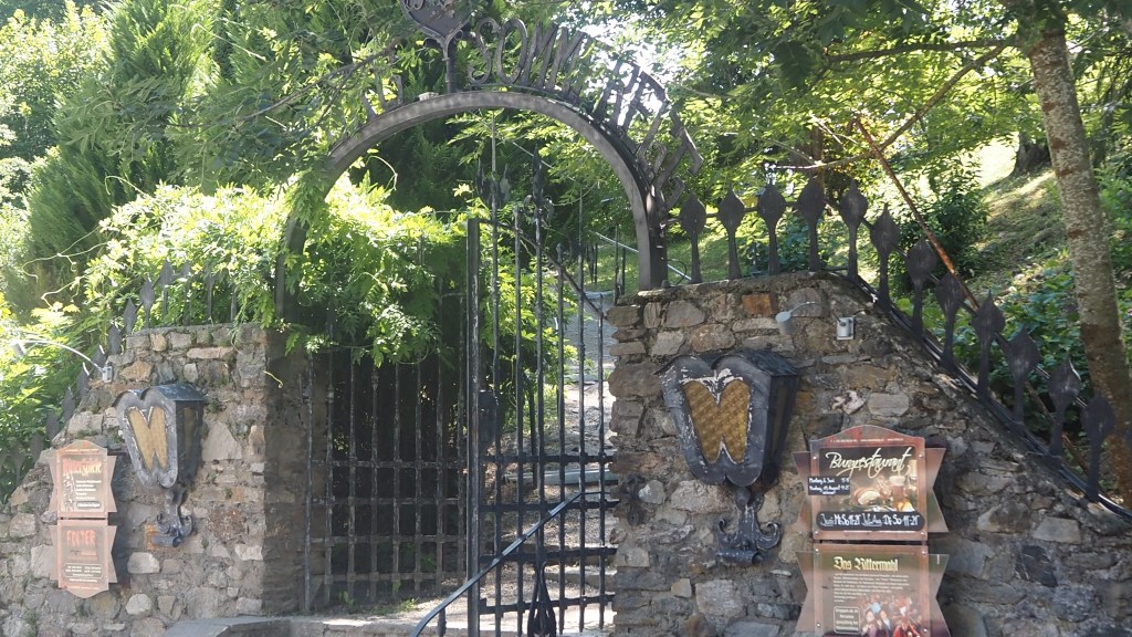
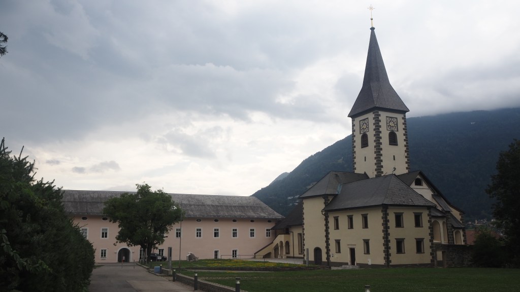
There was a short walk along the main road, and then a last climb back into a forest, which this time, unlike the end to yesterdays walk, did seem to have a purpose, although by this time I was very tired. Finally the trail took me across farmland, edging closer to the lake, before emerging at the grand buildings of Ossiach Abbey and then the lakeside at Ossiach, close to a small jetty.
Today’s walk had taken me nearly eight hours but here I am in Ossiach at last, and now around half way along my six week trip along the trail. It’s been a amazing experience so far, but a tiring one. When planning a trip like this you never really can imagine what it is going to be like, and how difficult it will be. But I’ve been really impressed by the scenery along the way and the variety I have encountered already, and I still have two more countries yet to go. Hopefully, the next couple of days will be a little easier and I can sort out my blister problem.