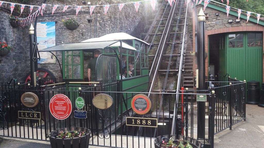
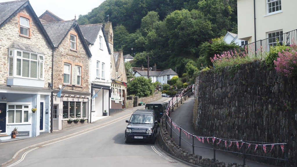
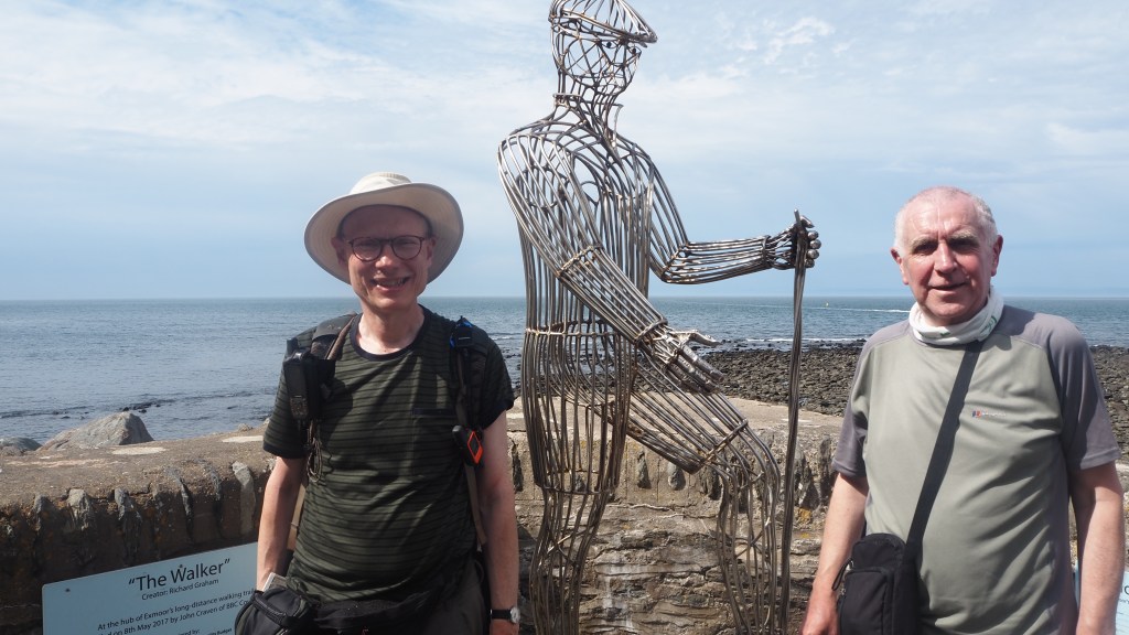
The last day of the Two Moors Way is one of the real highlights. Open moorland, trickling rivers, deep wooded gorges, plus a real sting in the tail – a big climb and descent – before you arrive at the alpine-like coastal town of Lynmouth.

This morning we resumed our walk from Simonsbath, climbing up onto the open moor. The guidebook had warned us that the next part of the route was ‘featureless’ and true enough it was. Not surprisingly, it also turned out this meant that it was pretty much pathless. While there were some sheep tracks that we found in places, none of them really went quite the right way. So for a while we just followed our gps track across long grass, reeds and thistles, reaching a point known as Exe Head where the path miraculously reappeared.
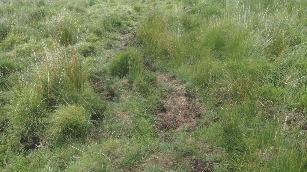
To be honest this is the sort of situation where I wouldn’t be without a gps. I know many people can still navigate with map and compass- I can but can’t say I’m supremely confident with it on featureless terrain- and many use phone apps, but I really wouldn’t rely on those alone on places like Exmoor, without at least downloading rather than relying on 4 or 5G for your maps. You could find yourself suddenly mapless due to loss of signal or a dying battery.
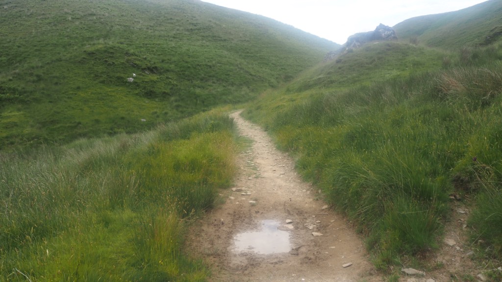
Luckily for us the forbidding descriptions in the book for the next part of the walk – of damp and difficult ground – turned out not to be a problem on the day we were there, as the ground was so dry. Certainly there was the odd puddle, but really nothing to what we’d come to expect on a moor.
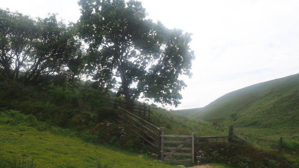
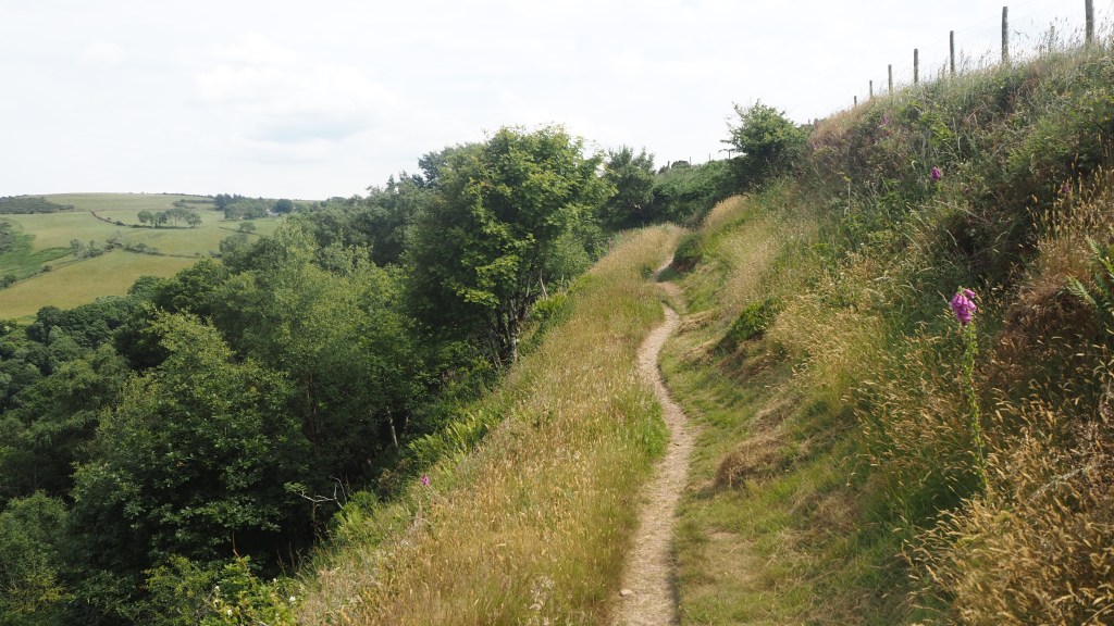
After passing the ‘Hoar Oak’ we crossed back into Devon and followed the long flat Cheriton ridge, before finally leaving the open moor, and following a stony track downhill to a lovely level walk by the river, part of the National Trust’s Watersmeet Estate.
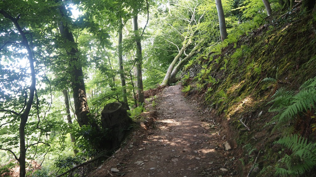
This led to Hillsford Bridge, where we took a path ascending first through the woods, and then onto the open top for glorious views across the wooded gorge, and our first glimpse of Lynmouth.
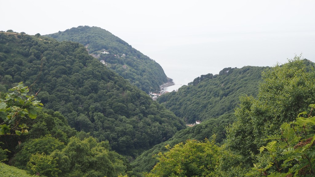
We started descending, which turned out to be just a preface to an even greater climb up the other side, before we finally began the long haul down to the coast and finally arrived at Lynmouth.
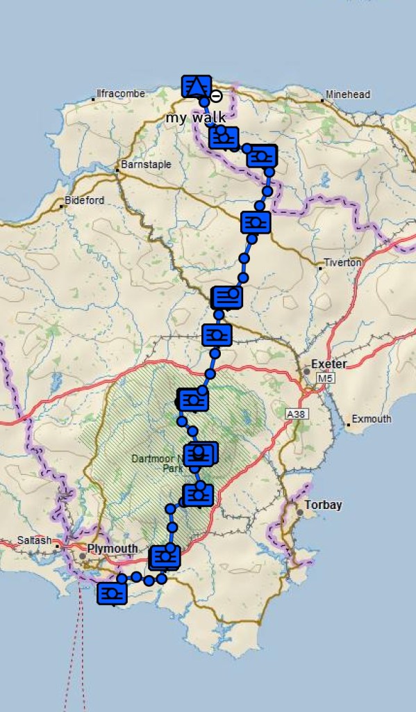
So there we are- 117 miles and ten days of walking. Another great walk, and two more national parks that were very largely new to me. Yet again we have been lucky with the British weather. While it’s sometimes been a little hotter than is ideal for walking, the dry ground really has made the moors so much easier to cross than we’d expected, particularly where there is little in the way of a clear path or we have simply been a little lost.
How does the Two Moors Way compare to other walks we have done in the UK? For me, the moorland sections and the stretch around the Castle Drogo estate were as good as many other such trails we have walked in the past, such as the Pennine Way, the Southern Upland Way, the Coast to Coast walk, the Rob Roy Way, the Kintyre Way or the Snowdonia Way. The bits in between, I found a bit of a mix. Some parts were really a bit bland and dull for me, being mainly field edges and high hedge lined lanes; others were really quite pretty, and enjoyable. And as I have said before, variety of terrain is one of the joys of good long distance walks.
The signage for the Two Moors way (and the Erme Plym trail preceding it) is mostly good. On Dartmoor the lack of signage is a real problem and any signage would really would make a huge difference. I think they should follow Exmoor’s excellent example. On some of the farmland sections, there are one or two missing places where an extra sign or arrow wouldn’t go amiss. But despite the impression my blog may have given, we really didn’t go wrong too often, and the combination of signs, gps and guidebook managed to get us through.
Of course for me this is just as a warm up for the ‘biggie’, the Alpe Adria Trail, which I plan to start on 6 July. 37 days of walking over around six weeks across Austria, Slovenia and Italy. Before I embark on that, can I say a big thank you to everyone who has read the blog, offered comments and compliments, and donated in support of the pangolins (if you haven’t already and wish to, please follow the link at the top of this page) .
I really do appreciate it, and I hope my little photo diary is sufficiently interesting to inspire you to try some new walks, and to follow my blog of my forthcoming trip. Please stay tuned and do let me know what you think.